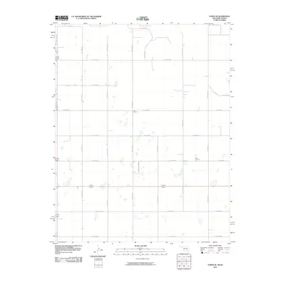
2010 Map of Turpin NE
USGS Topo · Published 2010About this map
Union Cemetery and Turpin Cemetery serve as the primary local landmarks in this rural landscape at the border of Kansas and Oklahoma. The area is defined by a rigid grid of local routes such as Hollow E0040 and Hollow N1220, reflecting the organized land division of the High Plains. While largely agricultural, the inclusion of Country Estates Rd suggests small-scale residential developments or rural homesteads amidst the sprawling fields. Numerous small, unnamed depressions and seasonal water features dot the terrain between roads like Hollow E0080 and Hollow N1240, illustrating the natural drainage patterns of this prairie environment during the early 21st century.
Find a feature on this map
21 named features on this map. Tap any name to fly to it.
Don’t see what you’re looking for? This feature index may not catch every label — zoom into the map to look around manually.
Map Details
Editions of this 2010 Turpin NE Map
This is the sole edition of this map. No revisions or reprints were ever made.
Other maps of this area

1954 · Perryton
USGS Topo · 1:250,000

1955 · Dodge City
USGS Topo · 1:250,000

1958 · Perryton
USGS Topo · 1:250,000

1958 · Dodge City
USGS Topo · 1:250,000

1959 · Dodge City
USGS Topo · 1:250,000

1971 · Liberal
USGS Topo · 1:24,000

1971 · Kismet SW
USGS Topo · 1:24,000

1971 · Hayne
USGS Topo · 1:24,000

1973 · Floris
USGS Topo · 1:24,000

1973 · Little Ponderosa
USGS Topo · 1:24,000