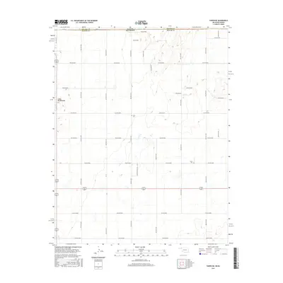
2016 Map of Turpin NE
USGS Topo · Published 2016About this map
Little Ponderosa sits at the western edge of this High Plains landscape, where the flat upland terrain is carved by numerous drainage hollows. The survey captures the state line where Seward Co, Kansas, meets Beaver Co, Oklahoma, a border marked by a dense grid of rural roads such as Hollow E0040 and Hollow N1220. These roads follow the section lines of the Public Land Survey System, a pattern only interrupted by the winding path of Short Cr in the southwest corner.
Find a feature on this map
35 named features on this map. Tap any name to fly to it.
Don’t see what you’re looking for? This feature index may not catch every label — zoom into the map to look around manually.
Map Details
Editions of this 2016 Turpin NE Map
This is the sole edition of this map. No revisions or reprints were ever made.
Other maps of this area

1954 · Perryton
USGS Topo · 1:250,000

1955 · Dodge City
USGS Topo · 1:250,000

1958 · Perryton
USGS Topo · 1:250,000

1958 · Dodge City
USGS Topo · 1:250,000

1959 · Dodge City
USGS Topo · 1:250,000

1971 · Liberal
USGS Topo · 1:24,000

1971 · Kismet SW
USGS Topo · 1:24,000

1971 · Hayne
USGS Topo · 1:24,000

1973 · Floris
USGS Topo · 1:24,000

1973 · Little Ponderosa
USGS Topo · 1:24,000