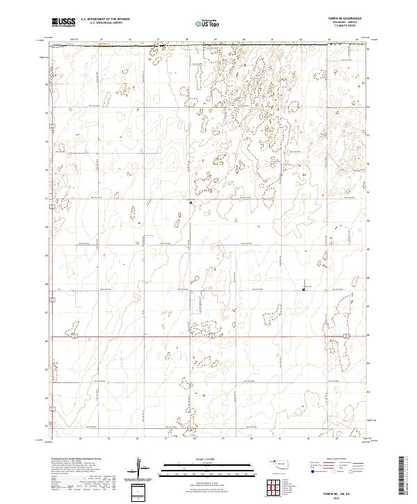
2022 Map of Turpin NE
USGS Topo · Published 2022About this map
The High Plains of the Oklahoma Panhandle meet the Kansas state line in this survey of Beaver County. The terrain is defined by a rigid grid of section roads and rural corridors such as Hollow E0060 and Hollow N1220, which navigate the subtle drainage patterns leading toward Short Cr in the southwest corner. The landscape is primarily agricultural, punctuated by a system of basins and hollows that reflect the region's semi-arid hydrology.
Find a feature on this map
33 named features on this map. Tap any name to fly to it.
Don’t see what you’re looking for? This feature index may not catch every label — zoom into the map to look around manually.
Map Details
Editions of this 2022 Turpin NE Map
This is the sole edition of this map. No revisions or reprints were ever made.
Other maps of this area

1954 · Perryton
USGS Topo · 1:250,000

1955 · Dodge City
USGS Topo · 1:250,000

1958 · Perryton
USGS Topo · 1:250,000

1958 · Dodge City
USGS Topo · 1:250,000

1959 · Dodge City
USGS Topo · 1:250,000

1971 · Liberal
USGS Topo · 1:24,000

1971 · Kismet SW
USGS Topo · 1:24,000

1971 · Hayne
USGS Topo · 1:24,000

1973 · Floris
USGS Topo · 1:24,000

1973 · Little Ponderosa
USGS Topo · 1:24,000