
1952 Map of Turquoise Hill
USGS Topo · Published 1953About this map
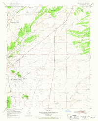
Spanish land grant boundaries define the landscape of this high desert region southwest of the city, where the Cieneguilla Grant and Sitio de los Cerrillos Grant meet. In the early 1950s, the area was a mix of traditional settlement and mid-century infrastructure, anchored by the Santa Fe Municipal Airport and a Radio Range Station. The map captures several rural community hubs, including the St Joseph Church and Cienega School, alongside long-established transportation routes like El Camino Real.
Find a feature on this map
30 named features on this map. Tap any name to fly to it.
Don’t see what you’re looking for? This feature index may not catch every label — zoom into the map to look around manually.
Map Details
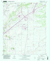
Editions of this 1952 Turquoise Hill Map
3 editions found
Other maps of this area

1889 · Santa Fe
USGS Topo · 1:125,000

1892 · San Pedro
USGS Topo · 1:125,000

1892 · Santa Clara
USGS Topo · 1:125,000

1894 · Santa Fe
USGS Topo · 1:125,000

1894 · Lamy
USGS Topo · 1:125,000

1951 · Agua Fria
USGS Topo · 1:24,000

1951 · Turquoise Hill
USGS Topo · 1:24,000

1952 · Santa Fe
USGS Topo · 1:24,000

1952 · Seton Village
USGS Topo · 1:24,000

1952 · Montoso Peak
USGS Topo · 1:24,000