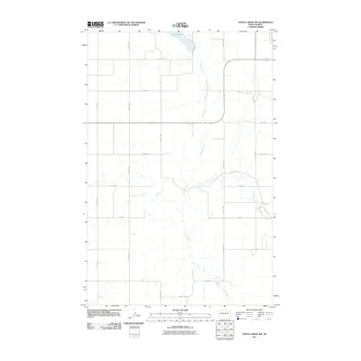
2011 Map of Turtle Creek NW
USGS Topo · Published 2011About this map
Turtle Creek meanders southward through this McLean County landscape, defining the local drainage patterns and providing a natural break in the geometric grid of agricultural roads. Near the northern boundary, the waters of Lake Ordway sit at the edge of a high-latitude prairie environment, where the section-line road system is firmly established. The map reveals a strictly organized rural infrastructure, dominated by an extensive network of north-south avenues and east-west streets, such as 21st Ave NW and 5th St NW. The intersection of County Hwy 27 and local routes like Main St illustrates the primary transportation corridors used for moving grain and livestock in this remote farming region of North Dakota during the early twenty-first century.
Find a feature on this map
18 named features on this map. Tap any name to fly to it.
Don’t see what you’re looking for? This feature index may not catch every label — zoom into the map to look around manually.
Map Details
Editions of this 2011 Turtle Creek NW Map
This is the sole edition of this map. No revisions or reprints were ever made.
Other maps of this area

1929 · Coleharbor
USGS Topo · 1:62,500

1947 · Turtle Lake
USGS Topo · 1:62,500

1949 · Turtle Creek
USGS Topo · 1:62,500

1949 · Washburn
USGS Topo · 1:62,500

1954 · McClusky
USGS Topo · 1:250,000

1958 · McClusky
USGS Topo · 1:250,000

1961 · Turtle Creek SW
USGS Topo · 1:24,000

1961 · Turtle Lake
USGS Topo · 1:24,000

1961 · Lake Nettie
USGS Topo · 1:24,000

1961 · Washburn
USGS Topo · 1:24,000