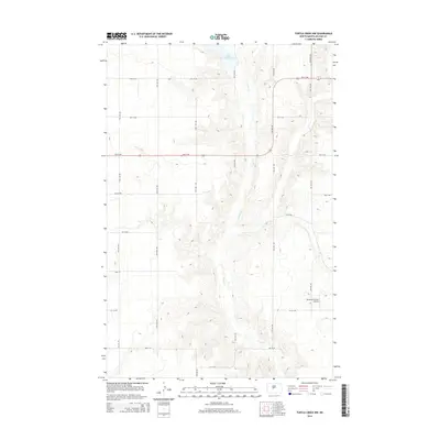
2014 Map of Turtle Creek NW
USGS Topo · Published 2014About this map
Turtle Cr carves a winding path through this portion of McLean County, defining the drainage patterns of a landscape marked by glacial depressions and subtle ridges. In the northern reaches, Lake Ordway sits as a significant water body within this prairie terrain. The map reveals a strictly organized section-line road grid, with routes like 5th St NW and 21st Ave Sw providing the primary framework for local travel. A notable point of human activity in this otherwise open agricultural area is the Philbrick Private Airstrip, located in the southeastern quadrant. This feature, along with the central presence of Main St, suggests a rural hub where aviation and road transport intersect amidst the vast fields of central North Dakota.
Find a feature on this map
24 named features on this map. Tap any name to fly to it.
Don’t see what you’re looking for? This feature index may not catch every label — zoom into the map to look around manually.
Map Details
Editions of this 2014 Turtle Creek NW Map
This is the sole edition of this map. No revisions or reprints were ever made.
Other maps of this area

1929 · Coleharbor
USGS Topo · 1:62,500

1947 · Turtle Lake
USGS Topo · 1:62,500

1949 · Turtle Creek
USGS Topo · 1:62,500

1949 · Washburn
USGS Topo · 1:62,500

1954 · McClusky
USGS Topo · 1:250,000

1958 · McClusky
USGS Topo · 1:250,000

1961 · Turtle Creek SW
USGS Topo · 1:24,000

1961 · Turtle Lake
USGS Topo · 1:24,000

1961 · Lake Nettie
USGS Topo · 1:24,000

1961 · Washburn
USGS Topo · 1:24,000