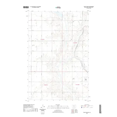
2020 Map of Turtle Creek NW
USGS Topo · Published 2020About this map
Turtle Creek meanders through this section of McLean County, carving a winding path through the prairie landscape of central North Dakota. The area is defined by its agricultural grid, where section lines are marked by local routes like County Highway 27 and County Highway 16. In the northern portion of the map, Lake Ordway stands as a prominent water feature, while the modern North Country National Scenic Trail cuts a diagonal path across the eastern sections. Genealogists will find historical interest in the locations of Ingersoll Cemetery and Bethal Baptist Cemetery, which serve as quiet landmarks of the rural community's long-standing settlement. The presence of the Philbrick Private Airstrip in the southeast suggests the ongoing importance of private aviation in managing these expansive plains.
Find a feature on this map
30 named features on this map. Tap any name to fly to it.
Don’t see what you’re looking for? This feature index may not catch every label — zoom into the map to look around manually.
Map Details
Editions of this 2020 Turtle Creek NW Map
This is the sole edition of this map. No revisions or reprints were ever made.
Other maps of this area

1929 · Coleharbor
USGS Topo · 1:62,500

1947 · Turtle Lake
USGS Topo · 1:62,500

1949 · Turtle Creek
USGS Topo · 1:62,500

1949 · Washburn
USGS Topo · 1:62,500

1954 · McClusky
USGS Topo · 1:250,000

1958 · McClusky
USGS Topo · 1:250,000

1961 · Turtle Creek SW
USGS Topo · 1:24,000

1961 · Turtle Lake
USGS Topo · 1:24,000

1961 · Lake Nettie
USGS Topo · 1:24,000

1961 · Washburn
USGS Topo · 1:24,000