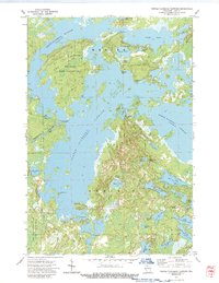
1973 Map of Turtle-Flambeau Flowage
USGS Topo · Published 1989About this map
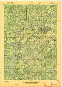
Turtle-Flambeau Flowage dominates this Northwoods landscape, its labyrinthine shoreline and numerous islands creating a complex aquatic environment in Mercer and Sherman. The regulation of these waters is marked by the Turtle Dam, which manages the outflow of the Flambeau River at the western edge of the main reservoir. Significant conservation lands surround the water, including the Big Island State Wildlife Area and the Hay Creek-Hoffman Lake State Wildlife Area, protecting the transition between the vast flowage and the surrounding timberland.
Find a feature on this map
39 named features on this map. Tap any name to fly to it.
Don’t see what you’re looking for? This feature index may not catch every label — zoom into the map to look around manually.
Map Details
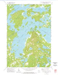
Editions of this 1973 Turtle-Flambeau Flowage Map
2 editions found
Other maps of this area

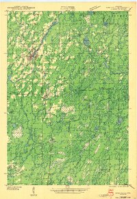
1940 · Mercer
USGS Topo · 1:48,000
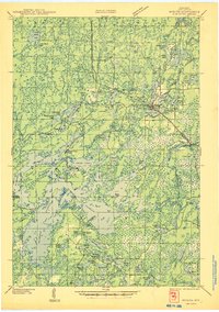
1940 · Butternut
USGS Topo · 1:48,000
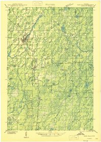
1941 · Park Falls
USGS Topo · 1:48,000

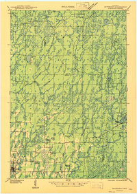
1941 · Pike Lake
USGS Topo · 1:48,000

1942 · Pike Lake
USGS Topo · 1:48,000
1943 · Park Falls
USGS Topo · 1:48,000
1945 · Mercer
USGS Topo · 1:48,000
1947 · Park Falls
USGS Topo · 1:48,000
1947 · Butternut
USGS Topo · 1:48,000
1947 · Mercer
USGS Topo · 1:48,000