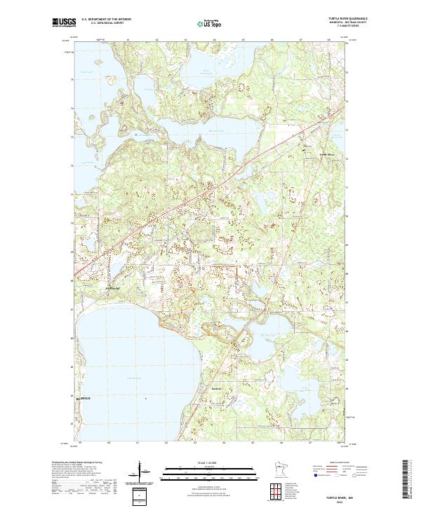
2022 Map of Turtle River
USGS Topo · Published 2022About this map
Lake Bemidji and the upper reaches of the Turtle River network dominate this Northwoods landscape. Small lakeside communities such as Birchmont and Lavinia line the northern shores of the larger lakes, while the incorporated city of Turtle River sits further east. The map captures a region defined by its glacial hydrology, with a dense cluster of interconnected water bodies including Beltrami Lake, Three Island Lake, and Big Bass Lake.
Find a feature on this map
101 named features on this map. Tap any name to fly to it.
Don’t see what you’re looking for? This feature index may not catch every label — zoom into the map to look around manually.
Map Details
Editions of this 2022 Turtle River Map
This is the sole edition of this map. No revisions or reprints were ever made.
Other maps of this area
1920 · Buena Vista
USGS Topo · 1:62,500

1954 · Bemidji
USGS Topo · 1:250,000

1957 · Bemidji
USGS Topo · 1:250,000

1958 · Bemidji
USGS Topo · 1:250,000
1968 · Bemidji East
USGS Topo · 1:24,000
1968 · Bemidji West
USGS Topo · 1:24,000
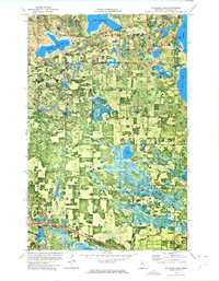
1972 · Peterson Lake
USGS Topo · 1:24,000
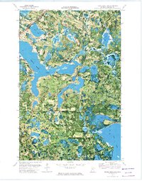
1972 · Turtle River Lake
USGS Topo · 1:24,000
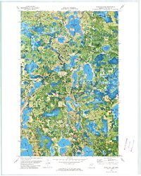
1972 · White Fish Lake
USGS Topo · 1:24,000
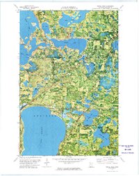
1972 · Turtle River
USGS Topo · 1:24,000