
1972 Map of Turtle River Lake
USGS Topo · Published 1974About this map
Buena Vista State Forest dominates this Beltrami County landscape, where the intricate hydrology of the Turtle River Lake system meets a complex network of timber and transit. In the early 1970s, the small settlement of Turtle River served as a key point along the Burlington Northern railroad, which skirts the northwestern edge of the map near School Lake. The geography is defined by its glacial heritage, featuring a dense cluster of water bodies including Long Lake, Pool Lake, and the expansive Big Lake to the south. An orthophotomap base provides a unique visual layer, capturing the transition between wooded forest boundaries and local utility, evidenced by a Gravel Pit and a local Townhall. The presence of the Indian Reservation Boundary crossing these waters highlights the layered jurisdictional history of this northern Minnesota wilderness.
Find a feature on this map
22 named features on this map. Tap any name to fly to it.
Don’t see what you’re looking for? This feature index may not catch every label — zoom into the map to look around manually.
Map Details
Editions of this 1972 Turtle River Lake Map
This is the sole edition of this map. No revisions or reprints were ever made.
Other maps of this area

1920 · Buena Vista
USGS Topo · 1:62,500

1954 · Bemidji
USGS Topo · 1:250,000

1957 · Bemidji
USGS Topo · 1:250,000

1958 · Bemidji
USGS Topo · 1:250,000

1968 · Bemidji East
USGS Topo · 1:24,000
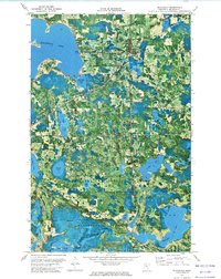
1972 · Blackduck
USGS Topo · 1:24,000
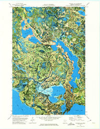
1972 · Pimushe Lake
USGS Topo · 1:24,000

1972 · White Fish Lake
USGS Topo · 1:24,000
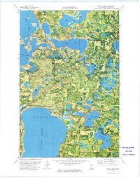
1972 · Turtle River
USGS Topo · 1:24,000
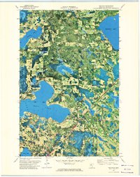
1972 · Tenstrike
USGS Topo · 1:24,000