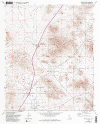
1970 Map of Turtle Valley
USGS Topo · Published 1993About this map
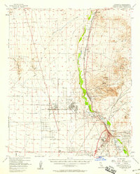
Bell Mountain anchors the southern portion of this high desert landscape, serving as a landmark for the small settlement that shares its name. The terrain is defined by dry drainage systems including Wild Wash and Bell Mountain Wash, which carve through the Brisbane Valley and Turtle Valley. This map, updated from aerial photography in the late 1960s and again in 1989, reveals a region heavily shaped by resource extraction and transportation. Numerous labels for Prospects and Mine are scattered across the slopes of Turtle Mountain and near Stoddard Mtn, indicating a history of prospecting. Infrastructure like the Pipeline and a network of desert routes such as Mission Road and Stoddard Well Road illustrate how this Mojave landscape was navigated for utility and exploration during the late twentieth century.
Find a feature on this map
29 named features on this map. Tap any name to fly to it.
Don’t see what you’re looking for? This feature index may not catch every label — zoom into the map to look around manually.
Map Details
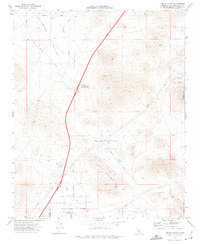
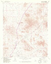
Editions of this 1970 Turtle Valley Map
3 editions found
Other maps of this area

1932 · Barstow
USGS Topo · 1:125,000

1934 · Barstow
USGS Topo · 1:125,000

1953 · San Bernardino
USGS Topo · 1:250,000

1956 · San Bernardino
USGS Topo · 1:250,000
1956 · Victorville
USGS Topo · 1:24,000

1956 · Hawes
USGS Topo · 1:62,500

1956 · Barstow
USGS Topo · 1:62,500

1956 · Helendale
USGS Topo · 1:24,000
1956 · Victorville
USGS Topo · 1:62,500

1957 · Apple Valley
USGS Topo · 1:62,500