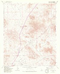
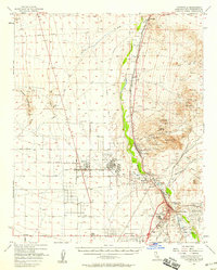
1970 Map of Turtle Valley
USGS Topo · Published 1993About this map
Desert mining operations and wide arid basins define this landscape in the Mojave region of San Bernardino County. Scattered across the rugged slopes of Turtle Mountain and Stoddard Mtn, numerous prospects and established sites like the Altoda Mine speak to a legacy of mineral exploration. The terrain is divided by broad expanses like Brisbane Valley and Turtle Valley, where seasonal drainage patterns such as Wild Wash flow toward the lower elevations.
Find a feature on this map
33 named features on this map. Tap any name to fly to it.
Don’t see what you’re looking for? This feature index may not catch every label — zoom into the map to look around manually.
Map Details
Editions of this 1970 Turtle Valley Map
3 editions found
Other maps of this area

1932 · Barstow
USGS Topo · 1:125,000

1934 · Barstow
USGS Topo · 1:125,000

1953 · San Bernardino
USGS Topo · 1:250,000

1956 · San Bernardino
USGS Topo · 1:250,000
1956 · Victorville
USGS Topo · 1:24,000

1956 · Hawes
USGS Topo · 1:62,500

1956 · Barstow
USGS Topo · 1:62,500

1956 · Helendale
USGS Topo · 1:24,000
1956 · Victorville
USGS Topo · 1:62,500

1957 · Apple Valley
USGS Topo · 1:62,500