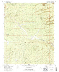
1981 Map of Tusayan East
USGS Topo · Published 1981About this map
The gateway settlement of Tusayan and the Tusayan Ranger Station anchor this high-plateau landscape during the early 1980s, marking the transition into the southern reaches of Grand Canyon National Park. The map documents a complex overlay of federal jurisdictions, where the boundaries of the Kaibab National Forest and Coconino National Forest meet the Grand Canyon National Game Preserve.
Find a feature on this map
35 named features on this map. Tap any name to fly to it.
Don’t see what you’re looking for? This feature index may not catch every label — zoom into the map to look around manually.
Map Details
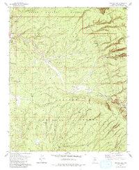
Editions of this 1981 Tusayan East Map
2 editions found
Other maps of this area

1886 · San Francisco Mtns
USGS Topo · 1:250,000

1886 · Chino
USGS Topo · 1:250,000

1886 · Echo Cliffs
USGS Topo · 1:250,000

1886 · Kaibab
USGS Topo · 1:250,000

1891 · San Francisco Mtns
USGS Topo · 1:250,000

1891 · Chino
USGS Topo · 1:250,000

1891 · Echo Cliffs
USGS Topo · 1:250,000

1894 · San Francisco Mtns
USGS Topo · 1:250,000

1899 · San Francisco Mtns
USGS Topo · 1:250,000

1903 · Bright Angel
USGS Topo · 1:48,000