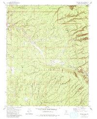
1981 Map of Tusayan East
USGS Topo · Published 1981About this map
Tusayan stands as a primary gateway along the southern boundary of Grand Canyon National Park on this 1981 survey. The surrounding landscape, largely protected within the Kaibab National Forest, is defined by an extensive network of artificial water sources essential for livestock and wildlife in this arid environment. Named features such as Reed Tank, Watson Tank, and Miller Step Tank are scattered across the terrain, indicating the historical management of the range.
Find a feature on this map
35 named features on this map. Tap any name to fly to it.
Don’t see what you’re looking for? This feature index may not catch every label — zoom into the map to look around manually.
Map Details
Editions of this 1981 Tusayan East Map
2 editions found
Other maps of this area

1886 · San Francisco Mtns
USGS Topo · 1:250,000

1886 · Chino
USGS Topo · 1:250,000

1886 · Echo Cliffs
USGS Topo · 1:250,000

1886 · Kaibab
USGS Topo · 1:250,000

1891 · San Francisco Mtns
USGS Topo · 1:250,000

1891 · Chino
USGS Topo · 1:250,000

1891 · Echo Cliffs
USGS Topo · 1:250,000

1894 · San Francisco Mtns
USGS Topo · 1:250,000

1899 · San Francisco Mtns
USGS Topo · 1:250,000

1903 · Bright Angel
USGS Topo · 1:48,000