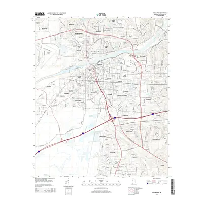
2014 Map of Tuscaloosa
USGS Topo · Published 2014About this map
The Black Warrior River serves as the central artery for this 2014 study of the region, flowing past Northport and the major hubs of Tuscaloosa. The map captures a high degree of suburban and institutional expansion, anchored by the sprawling grounds of The Univ of Alabama and the Tuscaloosa Regional Airport. Notable infrastructure like the Woolsey Finnell Bridge and the Hugh R Thomas Bridge facilitate movement between established neighborhoods such as Alberta City, Forest Lake, and Riverview. For local historians and genealogists, the sheet is dense with burial sites ranging from The Old Cem and Rices Hill Cem to modern memorial parks like Memory Hill Gardens. The landscape is a mix of dense residential blocks and industrial sites like the northern Sewage Lagoon N, reflecting the complex layout of a modern university city.
Find a feature on this map
97 named features on this map. Tap any name to fly to it.
Don’t see what you’re looking for? This feature index may not catch every label — zoom into the map to look around manually.
Map Details
Editions of this 2014 Tuscaloosa Map
This is the sole edition of this map. No revisions or reprints were ever made.
Other maps of this area

1899 · Brookwood
USGS Topo · 1:125,000

1924 · Tuscaloosa
USGS Topo · 1:62,500

1926 · Samantha
USGS Topo · 1:48,000

1926 · Tuscaloosa
USGS Topo · 1:62,500

1928 · Samantha
USGS Topo · 1:62,500

1929 · Searles
USGS Topo · 1:48,000

1931 · Cottondale
USGS Topo · 1:48,000

1934 · Searles
USGS Topo · 1:62,500

1934 · Cottondale
USGS Topo · 1:62,500

1953 · Birmingham
USGS Topo · 1:250,000