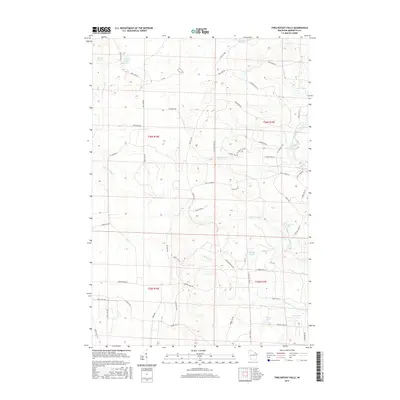
2015 Map of Twelvefoot Falls
USGS Topo · Published 2015About this map
Twelvefoot Falls and a series of dramatic river drops define this portion of the Marinette County wilderness during the early 21st century. The landscape is dominated by the complex drainage systems of the North Branch Pike River and the South Branch Pike River, which converge amidst a network of forest roads and trails. Notable hydrological landmarks such as Eighteenfoot Falls, Eightfoot Falls, and Horseshoe Falls highlight the descent of these waterways through the northern woods.
Find a feature on this map
67 named features on this map. Tap any name to fly to it.
Don’t see what you’re looking for? This feature index may not catch every label — zoom into the map to look around manually.
Map Details
Editions of this 2015 Twelvefoot Falls Map
This is the sole edition of this map. No revisions or reprints were ever made.
Other maps of this area

1939 · Dunbar
USGS Topo · 1:48,000

1939 · Goodman
USGS Topo · 1:48,000

1940 · Thunder Mtn.
USGS Topo · 1:48,000

1940 · Athelstane
USGS Topo · 1:48,000

1941 · Dunbar
USGS Topo · 1:48,000

1942 · Athelstane
USGS Topo · 1:48,000

1946 · Goodman
USGS Topo · 1:48,000

1947 · Dunbar
USGS Topo · 1:48,000

1951 · Thunder Mountain
USGS Topo · 1:48,000

1954 · Iron Mountain
USGS Topo · 1:250,000