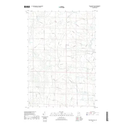
2018 Map of Twelvefoot Falls
USGS Topo · Published 2018About this map
The North Branch Pike River and its southern tributaries define this landscape in northwest Marinette County, characterized by a complex network of forest roads and significant hydrologic features. Waterfalls are a primary focal point of the area, including the eponymous Twelvefoot Falls, along with Eightfoot Falls and Horseshoe Falls. These natural landmarks sit within a heavily forested region crisscrossed by routes such as Co Forest Rd 514 and 12 Foot Falls Rd.
Find a feature on this map
62 named features on this map. Tap any name to fly to it.
Don’t see what you’re looking for? This feature index may not catch every label — zoom into the map to look around manually.
Map Details
Editions of this 2018 Twelvefoot Falls Map
This is the sole edition of this map. No revisions or reprints were ever made.
Other maps of this area

1939 · Dunbar
USGS Topo · 1:48,000

1939 · Goodman
USGS Topo · 1:48,000

1940 · Thunder Mtn.
USGS Topo · 1:48,000

1940 · Athelstane
USGS Topo · 1:48,000

1941 · Dunbar
USGS Topo · 1:48,000

1942 · Athelstane
USGS Topo · 1:48,000

1946 · Goodman
USGS Topo · 1:48,000

1947 · Dunbar
USGS Topo · 1:48,000

1951 · Thunder Mountain
USGS Topo · 1:48,000

1954 · Iron Mountain
USGS Topo · 1:250,000