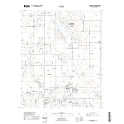
2018 Map of Twentynine Palms
USGS Topo · Published 2018About this map
Twentynine Palms and its surrounding high-desert landscape are documented here during a period of sustained military and recreational activity. The northern half of the map is dominated by the Twentynine Palms Main Base, featuring a dense grid of numbered streets from 1st St to 10th St. To the south, the boundary of Joshua Tree National Park borders the town's residential expansion, including neighborhoods like Harmony Acres and Noels Knoll. This map illustrates the transition from the arid reaches of the Mojave Desert to a structured settlement centered around The Plaza. Historical water sources and landmarks like the Oasis of Mara provide a direct link to the area's early settlement patterns. Aviation is also central to the local geography, with multiple facilities including Bauer Airport, Crosswinds Airport, and Dick Dale Skyranch Airport scattered across the basin.
Find a feature on this map
221 named features on this map. Tap any name to fly to it.
Don’t see what you’re looking for? This feature index may not catch every label — zoom into the map to look around manually.
Map Details
Editions of this 2018 Twentynine Palms Map
This is the sole edition of this map. No revisions or reprints were ever made.
Other maps of this area

1942 · Amboy
USGS Topo · 1:250,000

1943 · Amboy
USGS Topo · 1:250,000

1953 · San Bernardino
USGS Topo · 1:250,000

1954 · Needles
USGS Topo · 1:250,000

1954 · Valley Mtn
USGS Topo · 1:24,000

1955 · Deadman Lake SE
USGS Topo · 1:24,000

1955 · Deadman Lake SW
USGS Topo · 1:24,000

1955 · Lead Mountain SW
USGS Topo · 1:24,000

1955 · Twentynine Palms
USGS Topo · 1:24,000

1955 · Twentynine Palms
USGS Topo · 1:62,500
Featured Places
- Twentynine Palms, CA
- Harmony Acres, Twentynine Palms
- Smoke Tree, Twentynine Palms
- San Bernardino County, CA
- United States