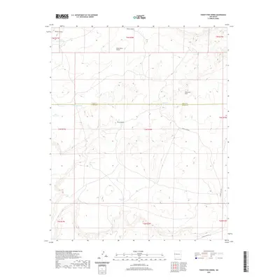
2020 Map of Twentytwo Spring
USGS Topo · Published 2020About this map
Twentytwo Spring serves as a vital water source in this high-desert region of Cibola and Catron counties. The landscape is defined by a series of deep drainages including Blanco Canyon, Perry Canyon, and the elongated Twentytwo Draw. Water management is the primary evidence of human modification here, seen in the numerous catchment systems like Horse Canyon Tank, Indian Tank, and Roundhill Tank. These features suggest a ranching economy reliant on capturing seasonal runoff across the mesas and flats. Two rural routes, Catron Co Rd A001 and Catron Co Rd A009, provide the only significant access through this arid terrain, linking the scattered water points and canyon floors that have supported land use since the early homesteading era.
Find a feature on this map
25 named features on this map. Tap any name to fly to it.
Don’t see what you’re looking for? This feature index may not catch every label — zoom into the map to look around manually.
Map Details
Editions of this 2020 Twentytwo Spring Map
This is the sole edition of this map. No revisions or reprints were ever made.
Other maps of this area
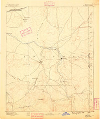
1886 · St Johns
USGS Topo · 1:250,000
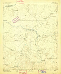
1892 · St Johns
USGS Topo · 1:250,000

1954 · Saint Johns
USGS Topo · 1:250,000

1957 · Saint Johns
USGS Topo · 1:250,000

1958 · Saint Johns
USGS Topo · 1:250,000

1962 · Saint Johns
USGS Topo · 1:250,000
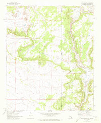
1971 · Mesa Parada
USGS Topo · 1:24,000
1972 · Zuni Salt Lake
USGS Topo · 1:24,000
1972 · Twentytwo Spring
USGS Topo · 1:24,000
1972 · Cantaralo Spring
USGS Topo · 1:24,000