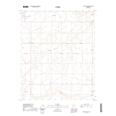
2023 Map of Twentytwo Spring
USGS Topo · Published 2023About this map
Twentytwo Spring serves as a critical water point in this high-desert landscape of northwestern Catron County, positioned along the border with Cibola County. The terrain is defined by a series of north-draining systems including Twentytwo Draw, Perry Canyon, and Little Blanco Canyon. This 2023 survey illustrates a landscape managed for livestock and water conservation, characterized by numerous named tanks such as Horse Canyon Tank, Big Sand Tank, and Indian Tank.
Find a feature on this map
25 named features on this map. Tap any name to fly to it.
Don’t see what you’re looking for? This feature index may not catch every label — zoom into the map to look around manually.
Map Details
Editions of this 2023 Twentytwo Spring Map
This is the sole edition of this map. No revisions or reprints were ever made.
Other maps of this area

1886 · St Johns
USGS Topo · 1:250,000

1892 · St Johns
USGS Topo · 1:250,000

1954 · Saint Johns
USGS Topo · 1:250,000

1957 · Saint Johns
USGS Topo · 1:250,000

1958 · Saint Johns
USGS Topo · 1:250,000

1962 · Saint Johns
USGS Topo · 1:250,000

1971 · Mesa Parada
USGS Topo · 1:24,000

1972 · Zuni Salt Lake
USGS Topo · 1:24,000

1972 · Twentytwo Spring
USGS Topo · 1:24,000

1972 · Cantaralo Spring
USGS Topo · 1:24,000