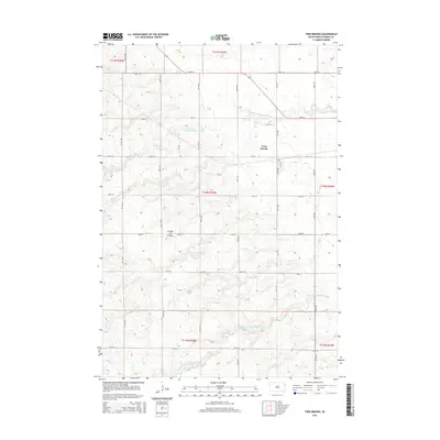
2015 Map of Twin Brooks
USGS Topo · Published 2015About this map
Twin Brooks sits along the northeastern edge of the Coteau des Prairies, a vast plateau that dominates the topography of eastern South Dakota. This 2015 survey reveals a landscape meticulously organized by the Public Land Survey System, where a rigid grid of roads like 471st Ave and 150th St overlays the natural drainage of the S Fork Whetstone River. The contrast between the straightened sections of these modern local routes and the wandering paths of the N Fork Yellow Bank River illustrates the intersection of human engineering and the glacial legacy of the region. Local genealogy and land-use researchers can trace the specific township boundaries, such as t120n r50w, which partition the agricultural fields and small-town street plans, including Lloyd St in the heart of the settlement.
Find a feature on this map
25 named features on this map. Tap any name to fly to it.
Don’t see what you’re looking for? This feature index may not catch every label — zoom into the map to look around manually.
Map Details
Editions of this 2015 Twin Brooks Map
This is the sole edition of this map. No revisions or reprints were ever made.
Other maps of this area
1953 · Milbank
USGS Topo · 1:250,000
1954 · Big Stone Lake
USGS Topo · 1:62,500
1958 · Milbank
USGS Topo · 1:250,000
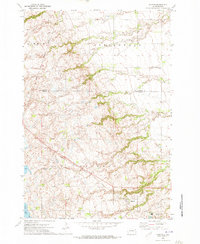
1970 · Marvin
USGS Topo · 1:24,000
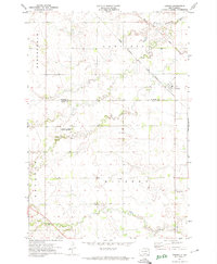
1971 · Corona
USGS Topo · 1:24,000
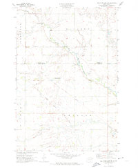
1971 · Big Stone Lake SW
USGS Topo · 1:24,000
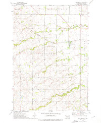
1973 · Twin Brooks
USGS Topo · 1:24,000
1973 · LaBolt
USGS Topo · 1:24,000
1973 · Milbank West
USGS Topo · 1:24,000
1973 · Stockholm
USGS Topo · 1:24,000