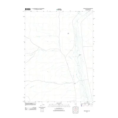
2012 Map of Twin Buttes
USGS Topo · Published 2012About this map
Marys River winds through this high-desert landscape in Elko County, creating a riparian corridor that has long served as a lifeline for ranching operations in a dry climate. The 2012 survey documents the layout of the Cross Ranch and its relationship to the surrounding drainage network, where multiple tributaries including Allen Creek, Pole Creek, and Gopher Creek descend from the higher elevations to the west. Evidence of geothermal activity is present at the Hot Spring and along Hot Springs Creek, highlighting the region's complex geology. Topographic prominence is marked by Twin Buttes and Skinners Point, which provide orientation across the sagebrush-covered terrain. This map serves as a contemporary record of land use and water resources in a region where isolated ranching outposts like Cross Ranch remain central to the local economy and history.
Find a feature on this map
11 named features on this map. Tap any name to fly to it.
Don’t see what you’re looking for? This feature index may not catch every label — zoom into the map to look around manually.
Map Details
Editions of this 2012 Twin Buttes Map
This is the sole edition of this map. No revisions or reprints were ever made.
Other maps of this area

1955 · Wells
USGS Topo · 1:250,000

1958 · Wells
USGS Topo · 1:250,000

1961 · Wells
USGS Topo · 1:250,000
1967 · Hanks Creek SW
USGS Topo · 1:24,000
1967 · Black Butte SW
USGS Topo · 1:24,000
1967 · Hot Springs Creek
USGS Topo · 1:24,000
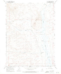
1967 · Twin Buttes
USGS Topo · 1:24,000
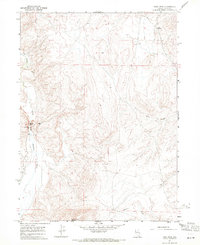
1967 · Peko Peak
USGS Topo · 1:24,000
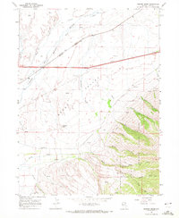
1967 · Herder Creek
USGS Topo · 1:24,000
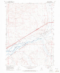
1967 · Deeth
USGS Topo · 1:24,000