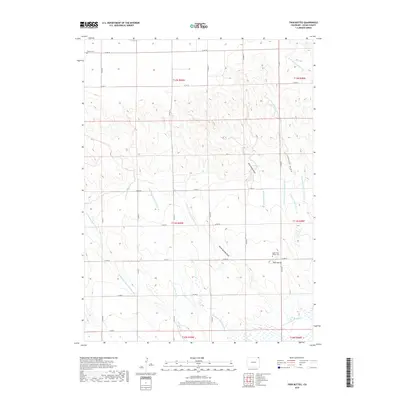
2019 Map of Twin Buttes
USGS Topo · Published 2019About this map
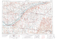
Twin Buttes rises as a prominent landmark in this Logan County landscape, defined by a complex network of water management systems essential to the High Plains. The terrain is crisscrossed by an intricate web of irrigation infrastructure, including the N Sterling Outlet Canal, Twin Buttes Ditch, and Byers Ditch, which redirect water through the arid sections of T11N and T12N. These systems, along with the Harmony Ditch Number 1 in the south, illustrate the intensive agricultural engineering required to sustain the region.
Find a feature on this map
37 named features on this map. Tap any name to fly to it.
Don’t see what you’re looking for? This feature index may not catch every label — zoom into the map to look around manually.
Map Details
Editions of this 2019 Twin Buttes Map
This is the sole edition of this map. No revisions or reprints were ever made.
Other maps of this area
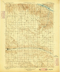
1899 · Sidney
USGS Topo · 1:125,000
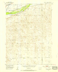
1953 · Tamarack Ranch
USGS Topo · 1:24,000
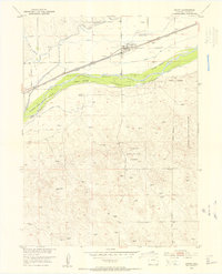
1953 · Crook
USGS Topo · 1:24,000
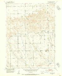
1953 · Twin Buttes
USGS Topo · 1:24,000
1953 · Proctor
USGS Topo · 1:24,000
1953 · Haystack Butte
USGS Topo · 1:24,000
1953 · Julesburg Reservoir
USGS Topo · 1:24,000
1954 · Sterling
USGS Topo · 1:250,000

1954 · Scottsbluff
USGS Topo · 1:250,000

1958 · Scottsbluff
USGS Topo · 1:250,000