
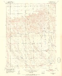
1953 Map of Twin Buttes
USGS Topo · Published 1954About this map
Peetz Table dominates the northern landscape of Logan County, characterized by a series of draws including Mc Cracken Draw and Johnson Draw that cut through the high plains. This 1953 survey, conducted as part of the Department of the Interior's Missouri River Basin development program, reveals a complex irrigation network essential to this dry Colorado terrain. Water management is evident in the numerous laterals and canals, such as the North Sterling Outlet Canal and Harmony Ditch No 1, which divert water across the flats toward the Johnson Draw Reservoir. Local genealogy is preserved in the location of the Lynch Cem near the prominent landmark of Twin Buttes, and the Barber Cem to the northwest. Numerous windmills are scattered across the quadrangle, marking the individual homesteads and ranching operations that relied on groundwater before the modern expansion of these larger irrigation projects.
Find a feature on this map
25 named features on this map. Tap any name to fly to it.
Don’t see what you’re looking for? This feature index may not catch every label — zoom into the map to look around manually.
Map Details
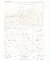
Editions of this 1953 Twin Buttes Map
3 editions found
Other maps of this area

1899 · Sidney
USGS Topo · 1:125,000

1953 · Tamarack Ranch
USGS Topo · 1:24,000

1953 · Crook
USGS Topo · 1:24,000

1953 · Proctor
USGS Topo · 1:24,000

1953 · Haystack Butte
USGS Topo · 1:24,000

1953 · Julesburg Reservoir
USGS Topo · 1:24,000

1954 · Sterling
USGS Topo · 1:250,000

1954 · Scottsbluff
USGS Topo · 1:250,000

1958 · Scottsbluff
USGS Topo · 1:250,000

1958 · Sterling
USGS Topo · 1:250,000