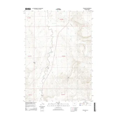
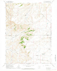
2015 Map of Twin Buttes
USGS Topo · Published 2015About this map
Bates Hole occupies a significant portion of this Natrona County landscape, characterized by the winding path of Stinking Cr as it flows north toward the Shirley Basin. The terrain is defined by prominent topographical rises such as Twin Buttes and Haystack Buttes, which serve as natural landmarks in an otherwise open, high-plains environment. Managed water resources are central to the geography here, with several named catchments including Hansine Reservoir, Hermine Reservoir, and the Sand Draw Number One Reservoir. This 2015 survey reveals how transportation and water management are adapted to the drainage patterns of Sand Draw and Bates Cr. Modern infrastructure is represented by State Highway 487, which cuts across the township and range lines to provide the primary north-south transit corridor through this section of Wyoming.
Find a feature on this map
17 named features on this map. Tap any name to fly to it.
Don’t see what you’re looking for? This feature index may not catch every label — zoom into the map to look around manually.
Map Details
Editions of this 2015 Twin Buttes Map
This is the sole edition of this map. No revisions or reprints were ever made.
Other maps of this area
1950 · Alcova SE
USGS Topo · 1:24,000
1951 · Bessemer Mountain
USGS Topo · 1:24,000
1951 · Bear Mountain
USGS Topo · 1:24,000

1955 · Casper
USGS Topo · 1:250,000

1958 · Casper
USGS Topo · 1:250,000
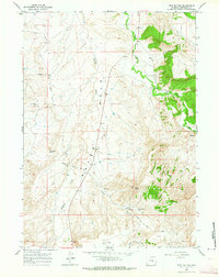
1960 · Twin Buttes
USGS Topo · 1:24,000
1960 · Crimson Dawn
USGS Topo · 1:24,000
1960 · Horse Peak
USGS Topo · 1:24,000
1960 · Sheep Creek
USGS Topo · 1:24,000
1960 · Mud Springs
USGS Topo · 1:24,000