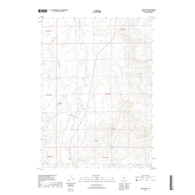
2017 Map of Twin Buttes
USGS Topo · Published 2017About this map
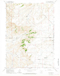
Twin Buttes and Haystack Buttes define the high ground of this Natrona County landscape, which transitions into the broad depression known as Bates Hole. The drainage patterns here are critical to understanding the local geography, with Stinking Creek cutting north through the center of the sheet while Bates Cr and Lawn Creek navigate the eastern and southern reaches. The presence of the Bates Hole Stock Trl suggests the historical and ongoing importance of livestock movement through these basins. Most of the terrain is marked by seasonal waterways like Sand Draw, indicating a high-desert environment where water management and natural landmarks guided early travelers and ranchers alike. This detailed topographical record from the U.S. Geological Survey preserves the specific alignment of rural routes such as Stinking Creek Rd against the backdrop of the region's prominent geological formations.
Find a feature on this map
17 named features on this map. Tap any name to fly to it.
Don’t see what you’re looking for? This feature index may not catch every label — zoom into the map to look around manually.
Map Details
Editions of this 2017 Twin Buttes Map
This is the sole edition of this map. No revisions or reprints were ever made.
Other maps of this area
1950 · Alcova SE
USGS Topo · 1:24,000
1951 · Bessemer Mountain
USGS Topo · 1:24,000
1951 · Bear Mountain
USGS Topo · 1:24,000

1955 · Casper
USGS Topo · 1:250,000

1958 · Casper
USGS Topo · 1:250,000
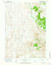
1960 · Twin Buttes
USGS Topo · 1:24,000
1960 · Crimson Dawn
USGS Topo · 1:24,000
1960 · Horse Peak
USGS Topo · 1:24,000
1960 · Sheep Creek
USGS Topo · 1:24,000
1960 · Mud Springs
USGS Topo · 1:24,000