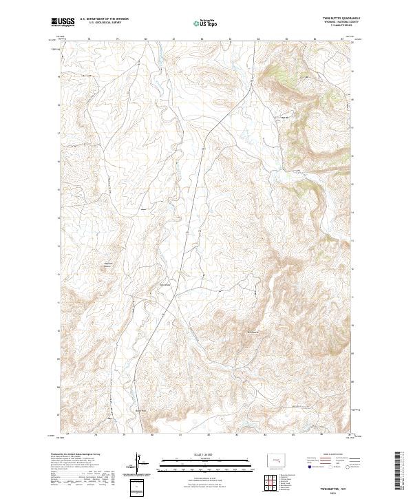
2021 Map of Twin Buttes
USGS Topo · Published 2021About this map
Bates Hole defines the southwestern portion of this landscape, where the drainage of Stinking Creek winds through complex topography toward the north. The area is characterized by prominent landforms such as Twin Buttes and Haystack Buttes, which serve as significant navigational markers in this part of Natrona County. Transportation in this high-plains environment is limited to utilitarian routes like the Bates Hole Stock Trl and Stinking Creek Rd, reflecting a landscape primarily dedicated to livestock movement and resource access. The hydrography is dominated by seasonal and perennial flows including Bates Cr and Lawn Creek, which carve distinct draws through the terrain. This 2021 survey provides a clear view of the Public Land Survey System grid, documenting the township and range boundaries that have governed land division in the region for over a century.
Find a feature on this map
17 named features on this map. Tap any name to fly to it.
Don’t see what you’re looking for? This feature index may not catch every label — zoom into the map to look around manually.
Map Details
Editions of this 2021 Twin Buttes Map
This is the sole edition of this map. No revisions or reprints were ever made.
Other maps of this area

1950 · Alcova SE
USGS Topo · 1:24,000

1951 · Bessemer Mountain
USGS Topo · 1:24,000

1951 · Bear Mountain
USGS Topo · 1:24,000

1955 · Casper
USGS Topo · 1:250,000

1958 · Casper
USGS Topo · 1:250,000

1960 · Twin Buttes
USGS Topo · 1:24,000

1960 · Crimson Dawn
USGS Topo · 1:24,000

1960 · Horse Peak
USGS Topo · 1:24,000

1960 · Sheep Creek
USGS Topo · 1:24,000

1960 · Mud Springs
USGS Topo · 1:24,000