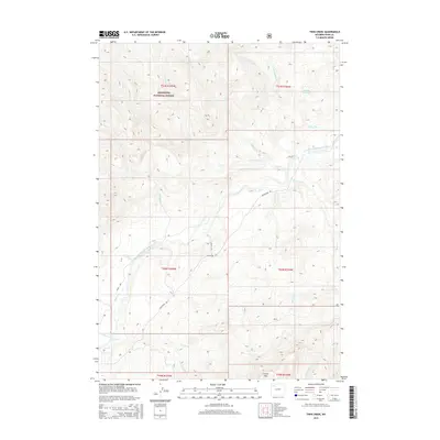
2015 Map of Twin Creek
USGS Topo · Published 2015About this map
The South Fork Shoshone River carves through this high-elevation landscape in Park County, where the plains meet the eastern foothills of the Absaroka Range. Much of the northwestern portion of this 2015 survey is managed as part of the Shoshone National Forest, preserving a complex drainage system that includes Hardpan Cr and Houlihan Cr. Human activity is concentrated along the river corridor and major access points like Southfork Rd, where private tracts such as those on Grizzly Ln and Josie Ln interface with public lands. The terrain is defined by dramatic elevation changes, rising toward the prominent Carter Mtn in the south. Notable water features include the Modolin Reservoir and numerous converging tributaries like Ishawooa Cr and Twin Cr, reflecting the vital role of water management and natural runoff in this arid mountain environment.
Find a feature on this map
28 named features on this map. Tap any name to fly to it.
Don’t see what you’re looking for? This feature index may not catch every label — zoom into the map to look around manually.
Map Details
Editions of this 2015 Twin Creek Map
This is the sole edition of this map. No revisions or reprints were ever made.
Other maps of this area
1893 · Ishawooa
USGS Topo · 1:125,000
1895 · Ishawooa
USGS Topo · 1:125,000
1899 · Ishawooa
USGS Topo · 1:125,000

1955 · Cody
USGS Topo · 1:250,000
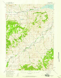
1957 · Wapiti
USGS Topo · 1:62,500
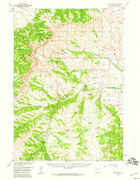
1957 · Irish Rock
USGS Topo · 1:62,500

1958 · Cody
USGS Topo · 1:250,000

1962 · Cody
USGS Topo · 1:250,000
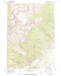
1970 · Ptarmigan Mountain
USGS Topo · 1:24,000
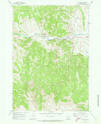
1970 · Flag Peak
USGS Topo · 1:24,000