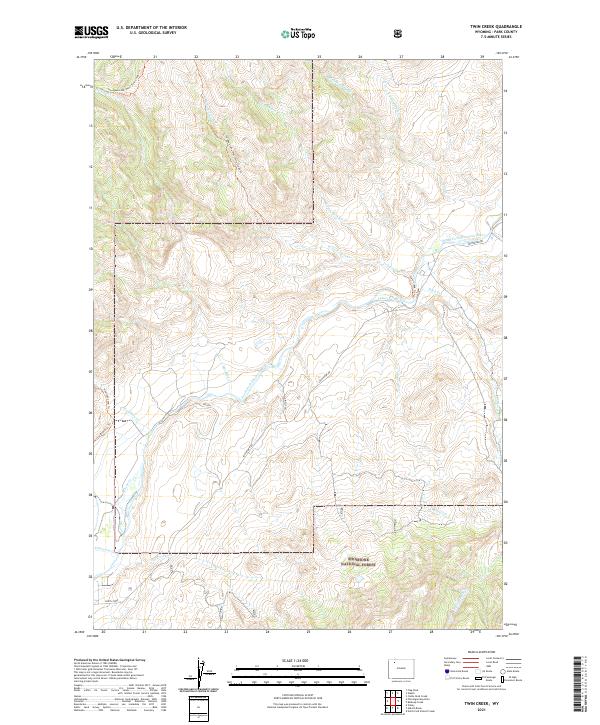
2021 Map of Twin Creek
USGS Topo · Published 2021About this map
Shoshone National Forest encompasses the high country of Park County, where the hydrological network of the South Fork Shoshone River dictates the landscape's movement. This area is defined by a dense system of seasonal and perennial drainages, including the bifurcated reaches of W Fork Twin Cr and E Fork Twin Cr, which converge to form Twin Creek before reaching the valley floor. The presence of the Lakeview Ditch indicates the historical and ongoing importance of water management in this arid mountain environment, diverted to support downstream interests.
Find a feature on this map
30 named features on this map. Tap any name to fly to it.
Don’t see what you’re looking for? This feature index may not catch every label — zoom into the map to look around manually.
Map Details
Editions of this 2021 Twin Creek Map
This is the sole edition of this map. No revisions or reprints were ever made.
Other maps of this area

1893 · Ishawooa
USGS Topo · 1:125,000

1895 · Ishawooa
USGS Topo · 1:125,000

1899 · Ishawooa
USGS Topo · 1:125,000

1955 · Cody
USGS Topo · 1:250,000

1957 · Wapiti
USGS Topo · 1:62,500

1957 · Irish Rock
USGS Topo · 1:62,500

1958 · Cody
USGS Topo · 1:250,000

1962 · Cody
USGS Topo · 1:250,000
1970 · Ptarmigan Mountain
USGS Topo · 1:24,000
1970 · Flag Peak
USGS Topo · 1:24,000