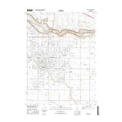
2017 Map of Twin Falls
USGS Topo · Published 2017About this map
Perrine Memorial Bridge spans the canyon of the Snake River here, connecting Twin Falls to the agricultural lands of Jerome County. The landscape is defined by the dramatic descent of the river over Shoshone Falls and Pillar Falls, features that historically dictated the development of the region's hydroelectric and irrigation infrastructure. The city itself shows a dense grid expanding toward the canyon rim, anchored by institutions like the Coll of Southern Idaho and bordered by the Twin Falls Cem.
Find a feature on this map
42 named features on this map. Tap any name to fly to it.
Don’t see what you’re looking for? This feature index may not catch every label — zoom into the map to look around manually.
Map Details
Editions of this 2017 Twin Falls Map
This is the sole edition of this map. No revisions or reprints were ever made.
Other maps of this area

1950 · Filer
USGS Topo · 1:24,000

1950 · Jerome
USGS Topo · 1:24,000

1950 · Jerome
USGS Topo · 1:62,500

1955 · Twin Falls
USGS Topo · 1:250,000

1958 · Twin Falls
USGS Topo · 1:250,000

1964 · Kimberly
USGS Topo · 1:24,000

1964 · Falls City
USGS Topo · 1:24,000

1964 · Twin Falls
USGS Topo · 1:24,000

1964 · Perrine
USGS Topo · 1:24,000

1965 · Stricker Butte
USGS Topo · 1:24,000