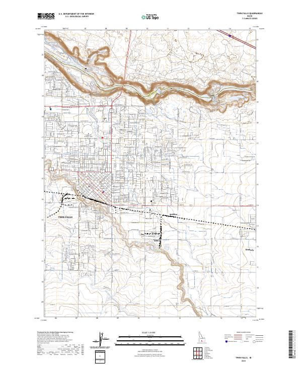
2024 Map of Twin Falls
USGS Topo · Published 2024About this map
Snake River canyon walls dominate the northern landscape of this region, marked by the dramatic drop of Shoshone Falls and Pillar Falls. The city of Twin Falls anchors the southwest, showing a dense street grid that transitions into the agricultural tracts of McMillan and Kimberly. Evidence of the area's sophisticated water management system is visible through features like the Orchard Seepage Tunnel, Low Line Canal, and Perrine Coulee, which illustrate how the arid Snake River Plain was transformed for settlement and industry.
Find a feature on this map
112 named features on this map. Tap any name to fly to it.
Don’t see what you’re looking for? This feature index may not catch every label — zoom into the map to look around manually.
Map Details
Editions of this 2024 Twin Falls Map
This is the sole edition of this map. No revisions or reprints were ever made.
Other maps of this area

1950 · Filer
USGS Topo · 1:24,000

1950 · Jerome
USGS Topo · 1:24,000

1950 · Jerome
USGS Topo · 1:62,500

1955 · Twin Falls
USGS Topo · 1:250,000

1958 · Twin Falls
USGS Topo · 1:250,000

1964 · Kimberly
USGS Topo · 1:24,000

1964 · Falls City
USGS Topo · 1:24,000

1964 · Twin Falls
USGS Topo · 1:24,000

1964 · Perrine
USGS Topo · 1:24,000

1965 · Stricker Butte
USGS Topo · 1:24,000