
1955 Map of Twin Falls
USGS Topo · Published 1963About this map
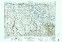
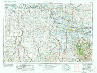
Twin Falls stands as the central hub of this mid-century survey, surrounded by a complex network of irrigation canals and power infrastructure that transformed the Magic Valley. The Snake River carves through the northern half of the landscape, feeding the Milner-Gooding Canal and creating a stark contrast between the reclaimed farmland and the surrounding desert plateaus. To the west, the expansive Saylor Creek Air Force Range dominates the high desert between the Snake and the Bruneau River. This era shows the established presence of the Union Pacific railroad lines connecting smaller agricultural outposts like Filer, Buhl, and Jerome. The southern portion of the map transitions into the high-altitude terrain of the Sawtooth National Forest, where features like Wooden Shoe Butte and Badger Mountain overlook the isolated settlement of Murphy Hot Springs near the Nevada border.
Find a feature on this map
78 named features on this map. Tap any name to fly to it.
Don’t see what you’re looking for? This feature index may not catch every label — zoom into the map to look around manually.
Map Details
Editions of this 1955 Twin Falls Map
3 editions found
Other maps of this area

1892 · Mountain Home
USGS Topo · 1:125,000

1892 · Bisuka
USGS Topo · 1:125,000

1892 · Camas Prairie
USGS Topo · 1:125,000

1893 · Mountain Home
USGS Topo · 1:125,000

1893 · Camas Prairie
USGS Topo · 1:125,000

1894 · Bisuka
USGS Topo · 1:125,000

1936 · Mountain City
USGS Topo · 1:62,500

1936 · Rowland
USGS Topo · 1:48,000

1939 · Owyhee
USGS Topo · 1:62,500

1940 · Rowland
USGS Topo · 1:62,500