Loading...
Loading map...2023 Map of Twin Lake
USGS Topo · Published 2023About this map
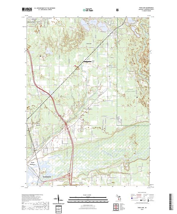
Twin Lake and the northern outskirts of Muskegon anchor this 2023 survey, where the suburban interface meets the southwestern reaches of the Manistee National Forest. The landscape is defined by the complex hydrology of the Muskegon River basin, featuring the braided paths of the North Channel Muskegon River and several tributary drains including Ribe Drain and Brandstrom Drain. These waterways move through a mix of developed residential pockets and protected woodland.
Find a feature on this map
56 named features on this map. Tap any name to fly to it.
Don’t see what you’re looking for? This feature index may not catch every label — zoom into the map to look around manually.
Map Details
Date Portrayed2023
Date Published2023
PublisherU.S. Geological Survey
Map TypeTopographic
Scale1:24000
Physical Dimensions24 x 29 inches
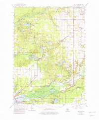
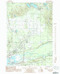
Editions of this 2023 Twin Lake Map
This is the sole edition of this map. No revisions or reprints were ever made.
Historical Maps of Dalton Township Through Time
3 maps found
Featured Locations
- Muskegon, MI
- Muskegon Charter Township, MI
- North Muskegon, MI
- Lakewood Club, Dalton Township
- Twin Lake, Dalton Township
Source Details
SourceU.S. Geological Survey
CopyrightPublic Domain