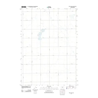
2012 Map of Twin Lakes
USGS Topo · Published 2012About this map
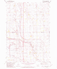
Twin Lakes and Grass Lake form the central hydrological focus of this rural landscape in Jerauld County. The area is defined by a rigorous section-line road grid, including 394th Ave and 237th St, which speaks to the enduring influence of the Public Land Survey System on South Dakota's agricultural layout. Seasonal drainage patterns are visible through the intermittent course of Dry Run, which meanders across the northern and eastern portions of the quadrangle. This 2012 survey by the U.S. Geological Survey captures the sparse settlement pattern of the region, where isolated farmsteads are connected by a network of local roads ranging from 392nd Ave to 398th Ave. The terrain is characterized by subtle elevation changes and the presence of small, scattered depressions typical of the prairie pothole region.
Find a feature on this map
19 named features on this map. Tap any name to fly to it.
Don’t see what you’re looking for? This feature index may not catch every label — zoom into the map to look around manually.
Map Details
Editions of this 2012 Twin Lakes Map
This is the sole edition of this map. No revisions or reprints were ever made.
Other maps of this area

1898 · Huron
USGS Topo · 1:125,000

1899 · Mitchell
USGS Topo · 1:125,000

1953 · Huron
USGS Topo · 1:250,000

1954 · Huron
USGS Topo · 1:250,000

1955 · Mitchell
USGS Topo · 1:250,000

1959 · Mitchell
USGS Topo · 1:250,000
1973 · Forestburg SW
USGS Topo · 1:24,000
1973 · Woonsocket
USGS Topo · 1:24,000
1973 · Lane
USGS Topo · 1:24,000
1979 · Fraser Dam
USGS Topo · 1:24,000