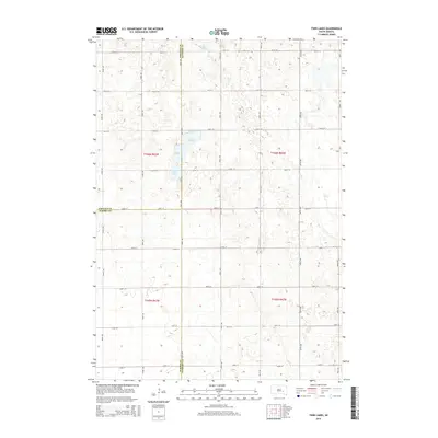
2015 Map of Twin Lakes
USGS Topo · Published 2015About this map
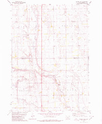
Twin Lakes and Grass Lake sit at the geographic convergence of Jerauld, Sanborn, and Aurora counties in this South Dakota prairie landscape. The area is defined by a strict section-line grid of rural roads, including 394th Ave and 238th St, which trace the borders between these jurisdictions. The terrain is characterized by the intermittent drainage of Dry Run, which wanders through the northern sections of Township 106 North, Range 62 West. This 2015 survey illustrates the enduring agricultural layout of the region, where the land is meticulously partitioned into mile-square sections typical of the Public Land Survey System. The absence of concentrated town centers highlights a purely agrarian settlement pattern where individual farmsteads are linked by a vast network of gravel roads.
Find a feature on this map
26 named features on this map. Tap any name to fly to it.
Don’t see what you’re looking for? This feature index may not catch every label — zoom into the map to look around manually.
Map Details
Editions of this 2015 Twin Lakes Map
This is the sole edition of this map. No revisions or reprints were ever made.
Other maps of this area

1898 · Huron
USGS Topo · 1:125,000

1899 · Mitchell
USGS Topo · 1:125,000

1953 · Huron
USGS Topo · 1:250,000

1954 · Huron
USGS Topo · 1:250,000

1955 · Mitchell
USGS Topo · 1:250,000

1959 · Mitchell
USGS Topo · 1:250,000
1973 · Forestburg SW
USGS Topo · 1:24,000
1973 · Woonsocket
USGS Topo · 1:24,000
1973 · Lane
USGS Topo · 1:24,000
1979 · Fraser Dam
USGS Topo · 1:24,000