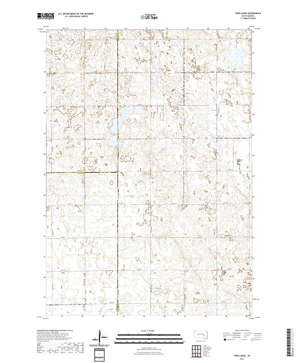
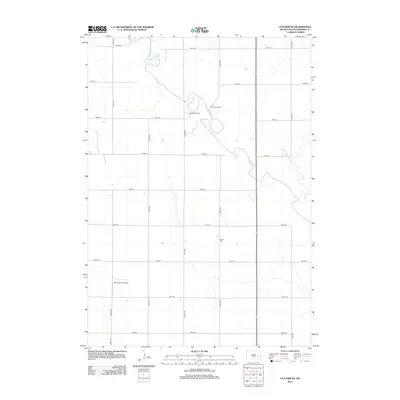
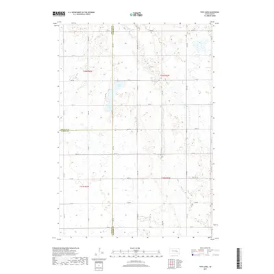
2021 Map of Twin Lakes
USGS Topo · Published 2021About this map
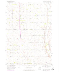
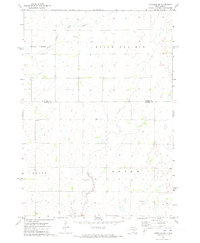
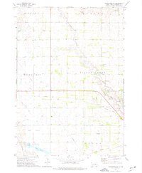
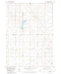
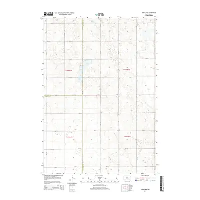
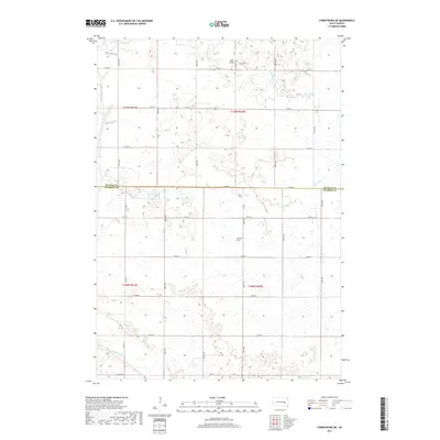
Twin Lakes and Grass Lake dominate the central landscape of this South Dakota prairie region, where the borders of Sanborn, Jerauld, and Aurora counties meet. The 2021 topography reveals a drainage pattern defined by the meandering Dry Run, which cuts across the northern and eastern sections of the quadrangle. This area is characterized by a precise grid of rural section-line roads, including Co Rd 7 and Co Rd 80, which facilitate movement across the agricultural interior. The map illustrates the contemporary configuration of these prairie wetlands and seasonal watercourses, reflecting the persistent land-use patterns of the Great Plains. While settlements are absent from this immediate area, the network of numbered routes like 394th Ave and 237th St provides a detailed framework for understanding the spatial organization of these rural townships.
Find a feature on this map
31 named features on this map. Tap any name to fly to it.
Don’t see what you’re looking for? This feature index may not catch every label — zoom into the map to look around manually.
Map Details
Editions of this 2021 Twin Lakes Map
This is the sole edition of this map. No revisions or reprints were ever made.
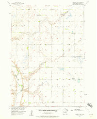
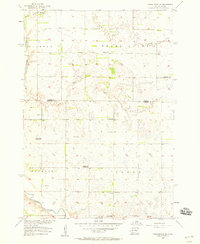
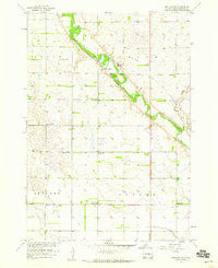
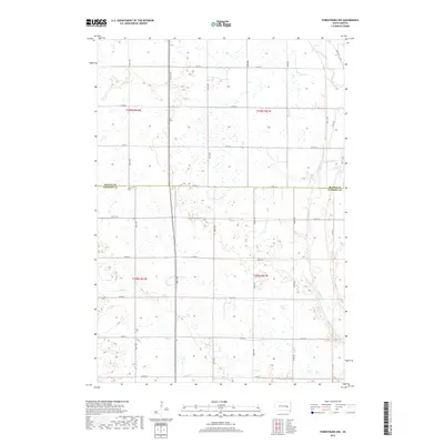
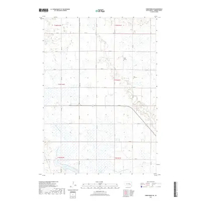
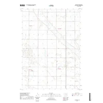
Historical Maps of Blaine Township Through Time
35 maps found
1957 Farwell NW
Sanborn County, SD
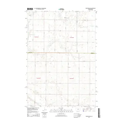
1957 Forestburg NE
Sanborn County, SD
1957 Letcher NE
Sanborn County, SD
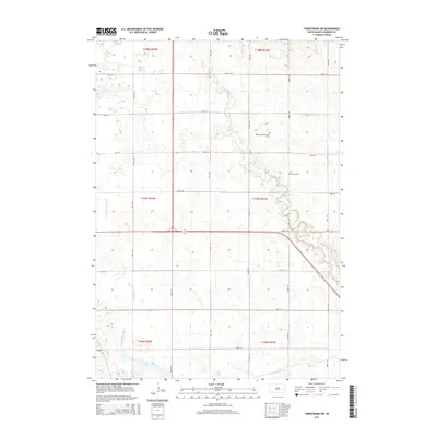
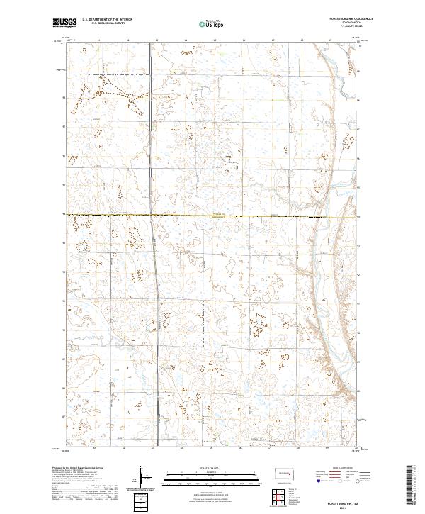
1958 Forestburg NW
Sanborn County, SD
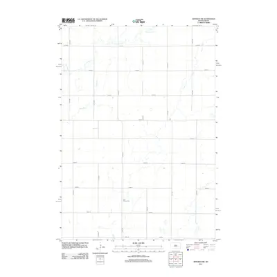
1971 Artesian NW
Sanborn County, SD
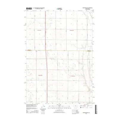
1973 Forestburg SW
Sanborn County, SD
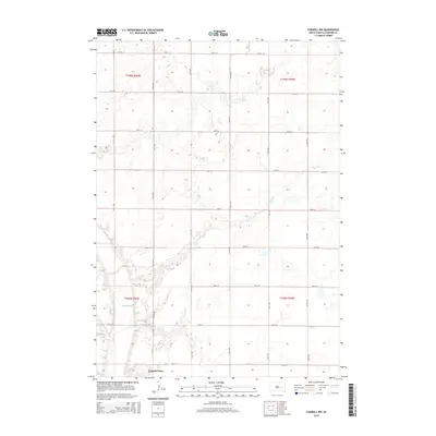
1979 Twin Lakes
Sanborn County, SD
2012 Artesian NW
Sanborn County, SD
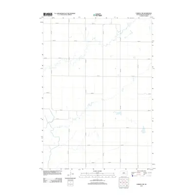
2012 Farwell NW
Sanborn County, SD
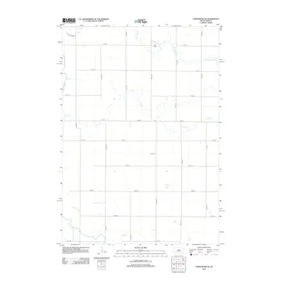
2012 Forestburg NE
Sanborn County, SD
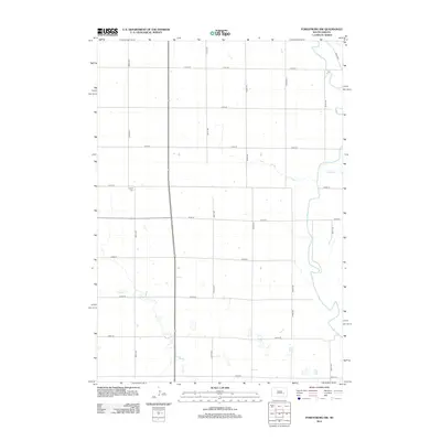
2012 Forestburg NW
Sanborn County, SD
2012 Forestburg SW
Sanborn County, SD
2012 Letcher NE
Sanborn County, SD
2012 Twin Lakes
Sanborn County, SD
2015 Artesian NW
Sanborn County, SD
2015 Farwell NW
Sanborn County, SD
2015 Forestburg NE
Sanborn County, SD
2015 Forestburg NW
Sanborn County, SD
2015 Forestburg SW
Sanborn County, SD
2015 Letcher NE
Sanborn County, SD
2015 Twin Lakes
Sanborn County, SD
2017 Artesian NW
Sanborn County, SD
2017 Farwell NW
Sanborn County, SD
2017 Forestburg NE
Sanborn County, SD
2017 Forestburg NW
Sanborn County, SD
2017 Forestburg SW
Sanborn County, SD
2017 Letcher NE
Sanborn County, SD
2017 Twin Lakes
Sanborn County, SD
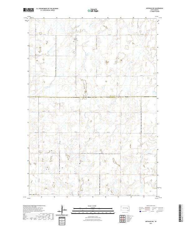
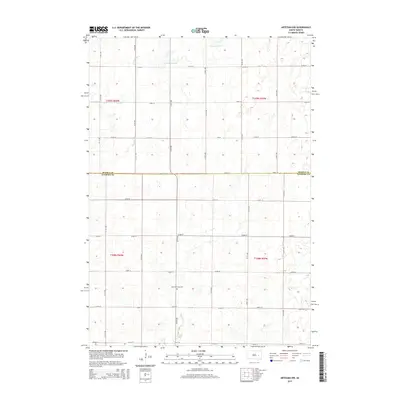
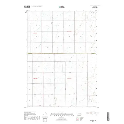
2021 Artesian NW
Sanborn County, SD
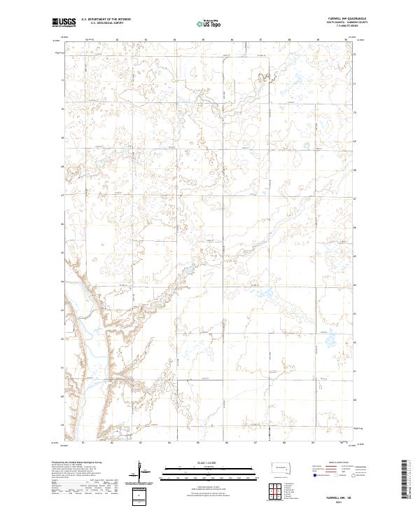
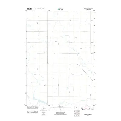
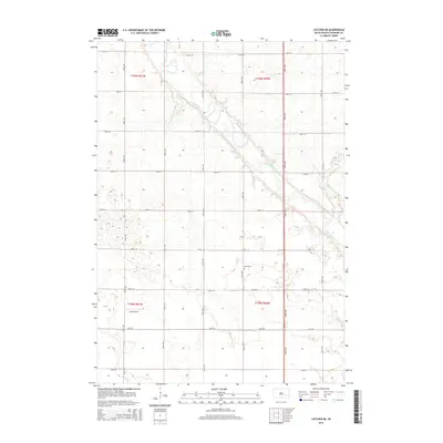
2021 Farwell NW
Sanborn County, SD
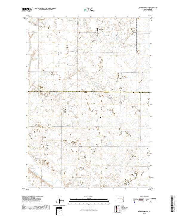
2021 Forestburg NE
Sanborn County, SD
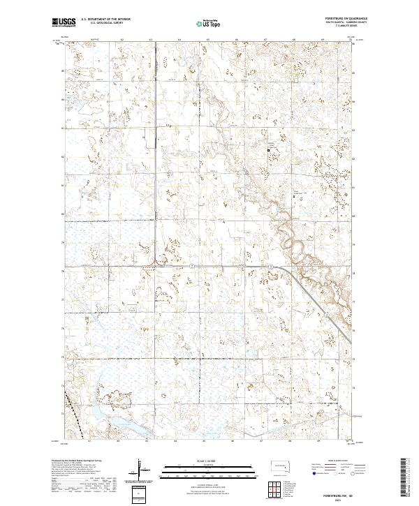
2021 Forestburg NW
Sanborn County, SD
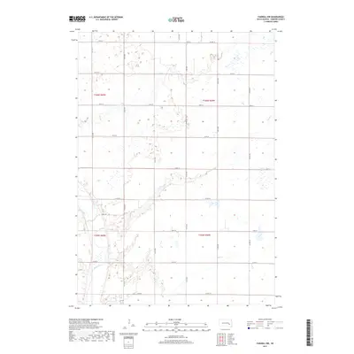
2021 Forestburg SW
Sanborn County, SD
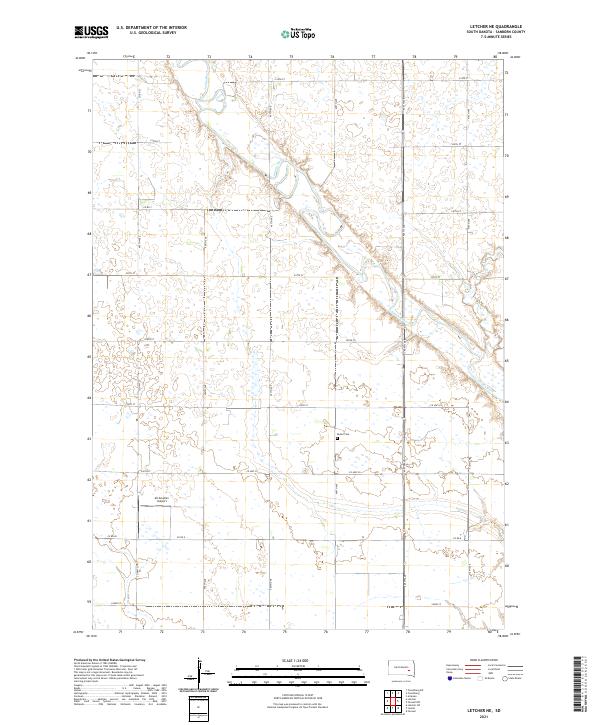
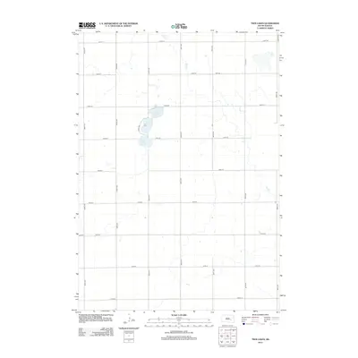
2021 Letcher NE
Sanborn County, SD
2021 Twin Lakes
Sanborn County, SD