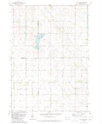
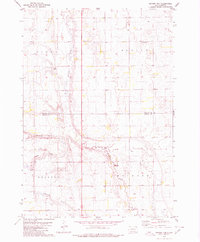
1979 Map of Twin Lakes
USGS Topo · Published 1980About this map
Twin Lakes and Grass Lake anchor this glaciated prairie landscape at the junction of Sanborn, Jerauld, and Aurora counties. The central focus is the Twin Lakes State Recreation Area, which preserves the shoreline and surrounding wetlands of these significant water bodies. The land is organized into townships such as Blaine, Twin Lake, Belford, and Elliott, reflecting the systematic agricultural development typical of the Dakota plains. Scattered throughout the section lines are rural indicators of mid-century community life, including the Belford Sch and Elliott Sch. The drainage patterns of Dry Run and Twin Run illustrate the natural hydrology of the area, while features like Gravel Pits point to the local extraction industry used for regional infrastructure.
Find a feature on this map
15 named features on this map. Tap any name to fly to it.
Don’t see what you’re looking for? This feature index may not catch every label — zoom into the map to look around manually.
Map Details
Editions of this 1979 Twin Lakes Map
This is the sole edition of this map. No revisions or reprints were ever made.
Other maps of this area

1898 · Huron
USGS Topo · 1:125,000

1899 · Mitchell
USGS Topo · 1:125,000

1953 · Huron
USGS Topo · 1:250,000

1954 · Huron
USGS Topo · 1:250,000

1955 · Mitchell
USGS Topo · 1:250,000

1959 · Mitchell
USGS Topo · 1:250,000
1973 · Forestburg SW
USGS Topo · 1:24,000
1973 · Woonsocket
USGS Topo · 1:24,000
1973 · Lane
USGS Topo · 1:24,000
1979 · Fraser Dam
USGS Topo · 1:24,000