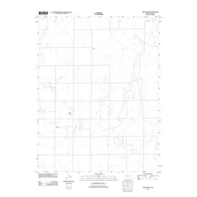
2012 Map of Twin Mound
USGS Topo · Published 2012About this map
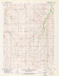
Twin Mound rises above the rural landscape of Rooks County, serving as a prominent geographical marker for this section of north-central Kansas. This survey captures a quiet, sparsely settled prairie environment defined by its section-line roads and seasonal drainages. For genealogists and local historians, the map is anchored by small burial grounds that reflect the early settlement patterns of the region, including Survey Cem in the north and Johnson Cem further south. The namesake Twin Mound Cem lies near the central landmark, providing a point of reference for families tracing their ancestry in this part of the High Plains. The drainage patterns and road network shown here emphasize the agricultural character of the county in the early twenty-first century, preserving the placement of rural cemeteries that remain among the few named historical identifiers in the township.
Find a feature on this map
4 named features on this map. Tap any name to fly to it.
Don’t see what you’re looking for? This feature index may not catch every label — zoom into the map to look around manually.
Map Details
Editions of this 2012 Twin Mound Map
This is the sole edition of this map. No revisions or reprints were ever made.
Other maps of this area
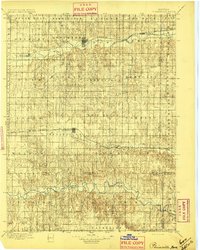
1896 · Plainville
USGS Topo · 1:125,000
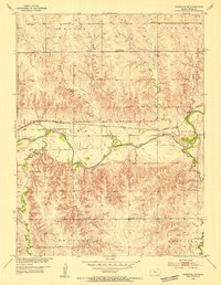
1953 · Woodston NW
USGS Topo · 1:24,000
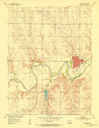
1953 · Stockton
USGS Topo · 1:24,000
1953 · Woodston
USGS Topo · 1:24,000

1955 · Beloit
USGS Topo · 1:250,000

1959 · Beloit
USGS Topo · 1:250,000
1978 · Natoma
USGS Topo · 1:24,000
1978 · Plainville
USGS Topo · 1:24,000
1978 · Codell
USGS Topo · 1:24,000
1978 · Twin Mound
USGS Topo · 1:24,000