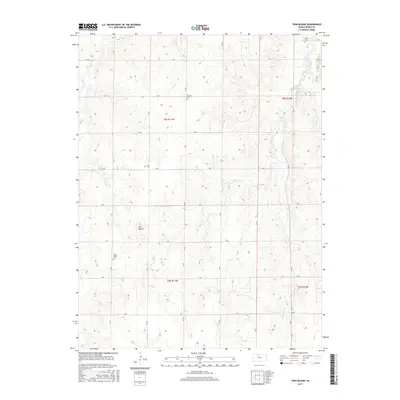
2015 Map of Twin Mound
USGS Topo · Published 2015About this map
The landforms of Twin Mound provide a distinct vertical focus in this part of Rooks County, surrounded by a highly organized grid of rural section roads. These thoroughfares, including O Rd, T Rd, and V Rd, define the agricultural layout of the plains. Local history is anchored by several small burial sites, including the Twin Mound Cemetery, Johnson Cemetery, and Survey Cemetery, which often represent the only remaining markers of early pioneer communities in this region. Drainage is provided by the winding courses of Medicine Creek and Elm Creek, which carve subtle depressions through the township and range divisions. The systematic arrangement of section lines and the persistence of these named cemeteries reflect a landscape deeply tied to the Public Land Survey System and multi-generational homesteads.
Find a feature on this map
54 named features on this map. Tap any name to fly to it.
Don’t see what you’re looking for? This feature index may not catch every label — zoom into the map to look around manually.
Map Details
Editions of this 2015 Twin Mound Map
This is the sole edition of this map. No revisions or reprints were ever made.
Other maps of this area
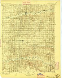
1896 · Plainville
USGS Topo · 1:125,000
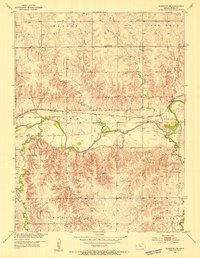
1953 · Woodston NW
USGS Topo · 1:24,000
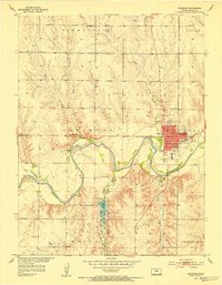
1953 · Stockton
USGS Topo · 1:24,000
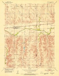
1953 · Woodston
USGS Topo · 1:24,000
1955 · Beloit
USGS Topo · 1:250,000
1959 · Beloit
USGS Topo · 1:250,000
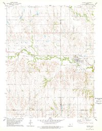
1978 · Natoma
USGS Topo · 1:24,000
1978 · Plainville
USGS Topo · 1:24,000
1978 · Codell
USGS Topo · 1:24,000
1978 · Twin Mound
USGS Topo · 1:24,000