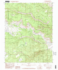
1985 Map of Twin Rocks
USGS Topo · Published 1985About this map
Capitol Reef and its dramatic geologic formations dominate this mid-1980s provisional study of Wayne County. The survey focuses on the intersection of the Waterpocket Fold and the Fremont River valley, where erosion has carved out distinctive landmarks such as Chimney Rock, The Motorman, and The Castle. The landscape is defined by vast plateaus like Meeks Mesa and Cooks Mesa, separated by steep canyons including Chimney Rock Canyon and Spring Canyon. Human impact on this arid terrain is subtle, primarily appearing as the Torrey Allotment Reservoir No 2 and a lonely Water Tank near the river. The boundary between Fishlake National Forest and Capitol Reef National Park runs across the high desert, documenting the administrative and natural limits of these protected lands at the time of the 1979 field check.
Find a feature on this map
29 named features on this map. Tap any name to fly to it.
Don’t see what you’re looking for? This feature index may not catch every label — zoom into the map to look around manually.
Map Details
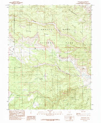
Editions of this 1985 Twin Rocks Map
2 editions found
Other maps of this area

1885 · Fish Lake
USGS Topo · 1:250,000

1896 · Fish Lake
USGS Topo · 1:250,000

1952 · Notom 2 NW
USGS Topo · 1:24,000

1952 · Notom 3 NW
USGS Topo · 1:24,000

1952 · Notom 2 SE
USGS Topo · 1:24,000

1952 · Notom 2 SW
USGS Topo · 1:24,000

1952 · Notom 4 NW
USGS Topo · 1:24,000

1952 · Notom 2 NE
USGS Topo · 1:24,000

1952 · Notom 3 NE
USGS Topo · 1:24,000

1952 · Notom 1 SW
USGS Topo · 1:24,000