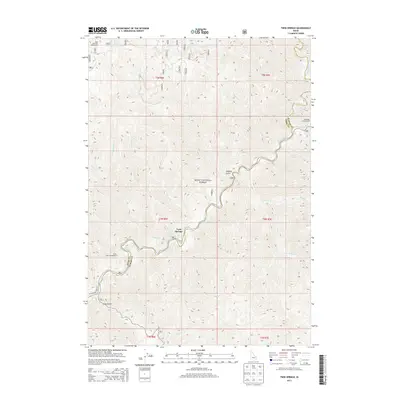
2013 Map of Twin Springs
USGS Topo · Published 2013About this map
Twin Springs and its nearby Hot Springs center this high-altitude landscape where the North Fork Boise River winds through the Boise National Forest. The map documents a rugged section of the Boise and Elmore County border, defined by steep drainages like Logging Gulch and Slide Gulch. The N Fork Boise River Rd serves as the primary artery through this wilderness, connecting recreation sites such as Birch Creek Campground and Bald Mountain Campground. Numerous tributaries, including Sheep Cr and Alder Cr, feed into the river system, illustrating the complex watershed that characterizes this part of the Idaho backcountry. The mapping of Forest Service roads and landmarks provides a clear view of the area's development for recreation and resource management during the early twenty-first century.
Find a feature on this map
33 named features on this map. Tap any name to fly to it.
Don’t see what you’re looking for? This feature index may not catch every label — zoom into the map to look around manually.
Map Details
Editions of this 2013 Twin Springs Map
This is the sole edition of this map. No revisions or reprints were ever made.
Other maps of this area
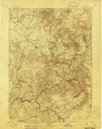
1894 · Idaho Basin
USGS Topo · 1:125,000

1955 · Hailey
USGS Topo · 1:250,000
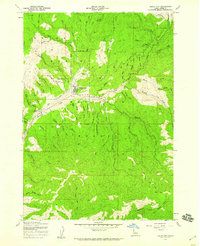
1957 · Idaho City
USGS Topo · 1:24,000

1959 · Hailey
USGS Topo · 1:250,000

1962 · Hailey
USGS Topo · 1:250,000
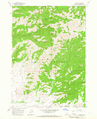
1964 · Prairie
USGS Topo · 1:24,000
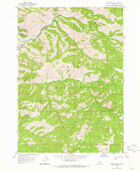
1964 · Sheep Creek
USGS Topo · 1:24,000
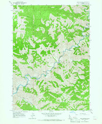
1964 · Twin Springs
USGS Topo · 1:24,000
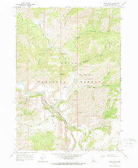
1964 · Long Gulch
USGS Topo · 1:24,000
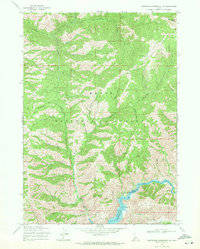
1969 · Arrowrock Reservoir NE
USGS Topo · 1:24,000