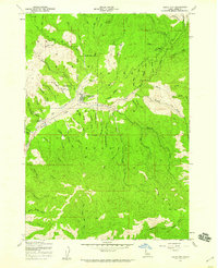
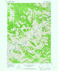
1957 Map of Idaho City
USGS Topo · Published 1959About this map
Idaho City stands as the central hub of this late-1950s survey, surrounded by the deep drainages of the Boise National Forest. The landscape is profoundly shaped by its mining heritage, notably at the Gold Hill Mine and the extensive Tailings deposits that line the banks of Mores Creek and Elk Creek. This map captures a moment of transition where the historical remnants of the gold rush, such as the Boot Hill Cem, coexist with newer developments like the Boise Basin Experiment Sta and a local Landing Strip. The terrain is characterized by a dense network of gulches, including California Gulch and Slaughterhouse Gulch, reflecting the intense historical exploration of the Boise Basin. For the researcher, the map provides a clear look at the proximity of resource extraction to the town's social infrastructure, from the Water Tank to the historic Spanish Trail winding through the northern ridges.
Find a feature on this map
62 named features on this map. Tap any name to fly to it.
Don’t see what you’re looking for? This feature index may not catch every label — zoom into the map to look around manually.
Map Details
Editions of this 1957 Idaho City Map
Other maps of this area

1894 · Idaho Basin
USGS Topo · 1:125,000

1955 · Hailey
USGS Topo · 1:250,000
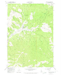
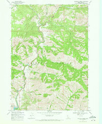
1957 · Placerville
USGS Topo · 1:24,000

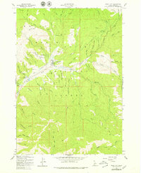
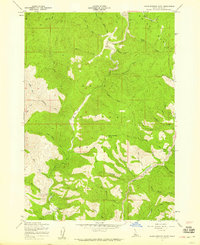
1957 · Pioneerville
USGS Topo · 1:24,000
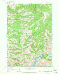
1957 · Warm Springs Point
USGS Topo · 1:24,000

1959 · Hailey
USGS Topo · 1:250,000

1962 · Hailey
USGS Topo · 1:250,000
1964 · Twin Springs
USGS Topo · 1:24,000
1969 · Dunnigan Creek
USGS Topo · 1:24,000
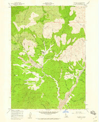
1969 · Arrowrock Reservoir NE
USGS Topo · 1:24,000