
1957 Map of Warm Springs Point
USGS Topo · Published 1959About this map
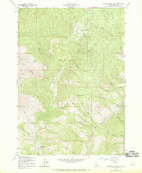
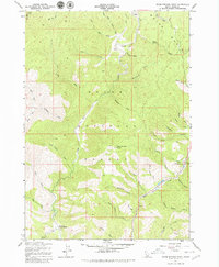
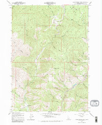
Boise Basin reveals a landscape defined by its mining legacy and forest management in the late 1950s. The drainage of Grimes Creek and Mores Creek dominates the terrain, where extensive Tailings along the creek beds point to historical placer mining activity. The U.S. Forest Service presence is anchored by the Holcomb Guard Station in the southwest, overseeing the drainage basins that feed into the larger Boise River system. From the high elevation of Warm Springs Point, the map traces numerous named gulches such as Milk Ranch Gulch and Gregory Gulch, which cut through the timbered slopes of the Boise National Forest. A network of primitive routes and a Jeep Trail provide access to several identified Prospects, reflecting the ongoing mineral interest in the region. The map captures the geography of a working forest where water resources like Sugar Creek and Clear Creek were vital for both ecology and industry.
Find a feature on this map
45 named features on this map. Tap any name to fly to it.
Don’t see what you’re looking for? This feature index may not catch every label — zoom into the map to look around manually.
Map Details
Editions of this 1957 Warm Springs Point Map
4 editions found
Other maps of this area

1892 · Boise
USGS Topo · 1:125,000

1894 · Idaho Basin
USGS Topo · 1:125,000

1897 · Boise
USGS Topo · 1:125,000

1949 · Robie Creek
USGS Topo · 1:24,000

1954 · Boise
USGS Topo · 1:62,500

1955 · Hailey
USGS Topo · 1:250,000

1955 · Boise
USGS Topo · 1:250,000

1957 · Placerville
USGS Topo · 1:24,000

1957 · Pioneerville
USGS Topo · 1:24,000
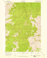
1957 · Shafer Butte
USGS Topo · 1:24,000