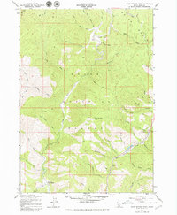
1957 Map of Warm Springs Point
USGS Topo · Published 1979About this map
Grimes Creek and Mores Creek define the drainage of this Idaho landscape, where mid-century surveying recorded a terrain shaped by mineral exploration and forestry. The presence of Tailings along the upper reaches of Grimes Creek, particularly near Monazite Gulch, indicates the scale of historic placer mining in this portion of the Boise National Forest. The map documents a network of primitive access points, including the Placer Trail and several prospects, alongside administrative markers like the Holcomb Guard Station in the south. Named drainages like Milk Ranch Gulch and Sawmill Gulch suggest early localized industries and livestock grazing patterns. High points such as Warm Springs Point overlook a complex system of gulches, including Rattlesnake Creek and Wild Horse Creek, providing a detailed view of the backcountry during the 1950s.
Find a feature on this map
43 named features on this map. Tap any name to fly to it.
Don’t see what you’re looking for? This feature index may not catch every label — zoom into the map to look around manually.
Map Details
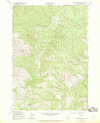
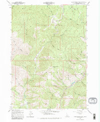
Editions of this 1957 Warm Springs Point Map
4 editions found
Other maps of this area

1892 · Boise
USGS Topo · 1:125,000

1894 · Idaho Basin
USGS Topo · 1:125,000

1897 · Boise
USGS Topo · 1:125,000

1949 · Robie Creek
USGS Topo · 1:24,000

1954 · Boise
USGS Topo · 1:62,500

1955 · Hailey
USGS Topo · 1:250,000

1955 · Boise
USGS Topo · 1:250,000

1957 · Placerville
USGS Topo · 1:24,000

1957 · Pioneerville
USGS Topo · 1:24,000

1957 · Warm Springs Point
USGS Topo · 1:24,000