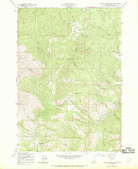
1957 Map of Warm Springs Point
USGS Topo · Published 1969About this map
Boise Basin topography dominates this mid-century survey, revealing a landscape deeply marked by its mining heritage. Evidence of historical gold-dredging operations is visible through numerous Tailings deposits along Grimes Creek and near Mores Creek. These drainage networks, including Monazite Gulch and Gregory Gulch, reflect the mineral interests that shaped the region's early settlement patterns. Beyond the streambeds, the terrain rises sharply toward Warm Springs Point, the central landmark of the quadrangle.
Find a feature on this map
43 named features on this map. Tap any name to fly to it.
Don’t see what you’re looking for? This feature index may not catch every label — zoom into the map to look around manually.
Map Details
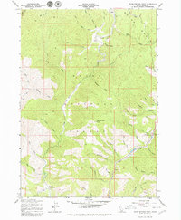
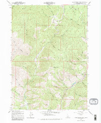
Editions of this 1957 Warm Springs Point Map
4 editions found
Other maps of this area

1892 · Boise
USGS Topo · 1:125,000

1894 · Idaho Basin
USGS Topo · 1:125,000

1897 · Boise
USGS Topo · 1:125,000

1949 · Robie Creek
USGS Topo · 1:24,000

1954 · Boise
USGS Topo · 1:62,500

1955 · Hailey
USGS Topo · 1:250,000

1955 · Boise
USGS Topo · 1:250,000

1957 · Placerville
USGS Topo · 1:24,000

1957 · Pioneerville
USGS Topo · 1:24,000

1957 · Warm Springs Point
USGS Topo · 1:24,000