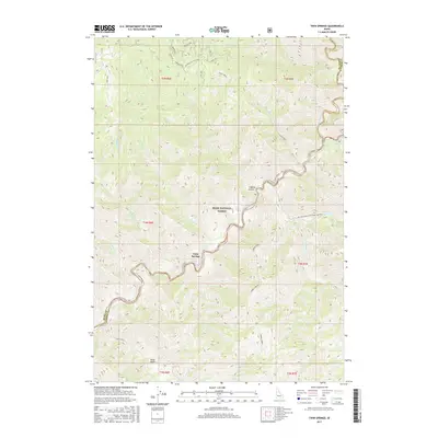
2017 Map of Twin Springs
USGS Topo · Published 2017About this map
Twin Springs and the neighboring Hot Springs mark a geothermal corridor along the canyon floor of the North Fork Boise River. This 2017 survey details the steep, drainage-dense landscape within the Boise National Forest, where the Atlanta Road follows the river's winding course as the primary transit artery. The mapping of numerous side drainages such as Haga Creek, Corral Creek, and Logging Gulch illustrates the complex hydrological network feeding the main river branch. The Boise and Elmore county line cuts across the terrain, dividing a wilderness area that includes the William Pogue National Recreat area. This modern record serves to document the specific road placements and drainage names that define the high-country access points and local geography of this central Idaho mountain region.
Find a feature on this map
36 named features on this map. Tap any name to fly to it.
Don’t see what you’re looking for? This feature index may not catch every label — zoom into the map to look around manually.
Map Details
Editions of this 2017 Twin Springs Map
This is the sole edition of this map. No revisions or reprints were ever made.
Other maps of this area
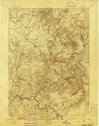
1894 · Idaho Basin
USGS Topo · 1:125,000

1955 · Hailey
USGS Topo · 1:250,000
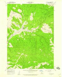
1957 · Idaho City
USGS Topo · 1:24,000

1959 · Hailey
USGS Topo · 1:250,000

1962 · Hailey
USGS Topo · 1:250,000
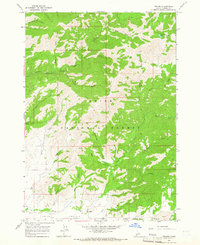
1964 · Prairie
USGS Topo · 1:24,000
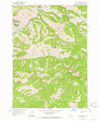
1964 · Sheep Creek
USGS Topo · 1:24,000
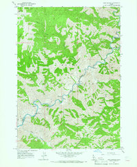
1964 · Twin Springs
USGS Topo · 1:24,000
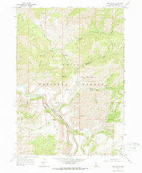
1964 · Long Gulch
USGS Topo · 1:24,000
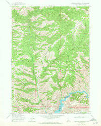
1969 · Arrowrock Reservoir NE
USGS Topo · 1:24,000