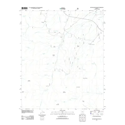
2011 Map of Two Bar Mountain
USGS Topo · Published 2011About this map
Two Bar Ranch and Black Brush Ranch anchor the northern reaches of this high-desert landscape in central Arizona. This region is defined by a complex network of seasonal drainages and springs that supported cattle operations throughout the twentieth century. The topography is dominated by the massive profile of Two Bar Mountain and Granite Mountain, separated by the distinctive Gunsight Gap.
Find a feature on this map
54 named features on this map. Tap any name to fly to it.
Don’t see what you’re looking for? This feature index may not catch every label — zoom into the map to look around manually.
Map Details
Editions of this 2011 Two Bar Mountain Map
This is the sole edition of this map. No revisions or reprints were ever made.
Other maps of this area

1900 · Florence
USGS Topo · 1:125,000

1901 · Globe
USGS Topo · 1:62,500

1902 · Globe
USGS Topo · 1:62,500

1902 · Florence
USGS Topo · 1:125,000

1907 · Roosevelt
USGS Topo · 1:125,000

1909 · Four Peaks
USGS Topo · 1:125,000

1912 · Roosevelt
USGS Topo · 1:125,000

1922 · Chrysotile
USGS Topo · 1:125,000

1945 · Inspiration
USGS Topo · 1:24,000

1947 · Inspiration
USGS Topo · 1:24,000