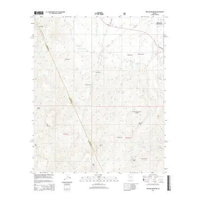
2014 Map of Two Bar Mountain
USGS Topo · Published 2014About this map
Tonto National Forest defines the rugged high-desert character of this Arizona landscape, which sits along the border of Gila and Maricopa counties. The terrain is marked by significant vertical relief, ranging from Two Bar Mountain and Black Mtn down into the deep cuts of Apache Canyon and Wildcat Canyon. This 2014 survey documents a network of remote springs and water management features essential for the arid environment, including Gans Hole Spring, Swede Spring, and Bobcat Tank Number Two. The Arizona National Scenic Trail winds through the western portion of the quadrangle, crossing the Two Bar Ridge, while the historic Apache Trl skirts the northeastern corner near the community of Roosevelt Lake Estates. This modern topographic study preserves the naming of numerous natural landmarks like Nonesuch Rocks and Gunsight Gap, reflecting a landscape managed for both recreation and resource conservation.
Find a feature on this map
60 named features on this map. Tap any name to fly to it.
Don’t see what you’re looking for? This feature index may not catch every label — zoom into the map to look around manually.
Map Details
Editions of this 2014 Two Bar Mountain Map
This is the sole edition of this map. No revisions or reprints were ever made.
Other maps of this area
1900 · Florence
USGS Topo · 1:125,000
1901 · Globe
USGS Topo · 1:62,500
1902 · Globe
USGS Topo · 1:62,500
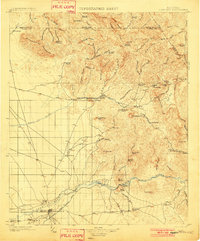
1902 · Florence
USGS Topo · 1:125,000
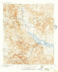
1907 · Roosevelt
USGS Topo · 1:125,000
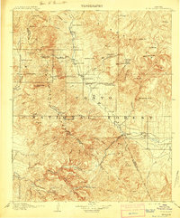
1909 · Four Peaks
USGS Topo · 1:125,000
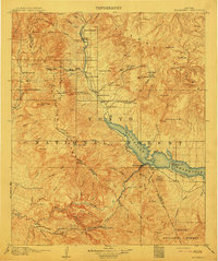
1912 · Roosevelt
USGS Topo · 1:125,000
1922 · Chrysotile
USGS Topo · 1:125,000
1945 · Inspiration
USGS Topo · 1:24,000
1947 · Inspiration
USGS Topo · 1:24,000