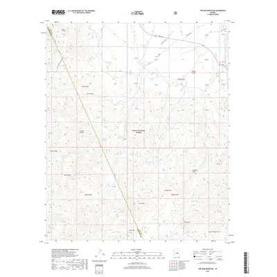
2018 Map of Two Bar Mountain
USGS Topo · Published 2018About this map
Tonto National Forest defines the environment of this Gila County landscape, where the Arizona National Scenic Trail traverses the high ridges and canyons west of Roosevelt Lake. The terrain is marked by prominent peaks such as Two Bar Mtn and Granite Mtn, separated by the distinct Gunsight Gap. This high-desert region is characterized by an intricate network of water sources essential for local ranching and transit, including Cottonwood Spring, Tule Spring, and numerous man-made features like Henderson Tank and Substitute Tank. The map shows the intersection of the historic Apache Trl and Grapevine Airport in the northeast, providing a detailed record of the transportation and water infrastructure in this corner of the Arizona wilderness.
Find a feature on this map
66 named features on this map. Tap any name to fly to it.
Don’t see what you’re looking for? This feature index may not catch every label — zoom into the map to look around manually.
Map Details
Editions of this 2018 Two Bar Mountain Map
This is the sole edition of this map. No revisions or reprints were ever made.
Other maps of this area
1900 · Florence
USGS Topo · 1:125,000
1901 · Globe
USGS Topo · 1:62,500
1902 · Globe
USGS Topo · 1:62,500
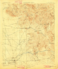
1902 · Florence
USGS Topo · 1:125,000
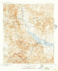
1907 · Roosevelt
USGS Topo · 1:125,000
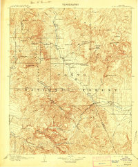
1909 · Four Peaks
USGS Topo · 1:125,000
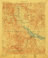
1912 · Roosevelt
USGS Topo · 1:125,000
1922 · Chrysotile
USGS Topo · 1:125,000
1945 · Inspiration
USGS Topo · 1:24,000
1947 · Inspiration
USGS Topo · 1:24,000