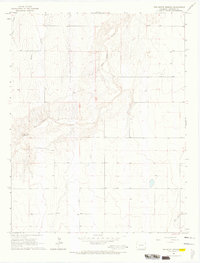
1966 Map of Two Butte Springs
USGS Topo · Published 1967About this map
Two Butte Springs and the winding course of Two Butte Creek anchor this mid-1960s survey of the southeastern Colorado landscape. The terrain is defined by a network of drainage systems including Plum Creek, Durkee Creek, and Dry Creek, which cut through the high plains topography. The map reveals a sparsely populated ranching environment where water sources and crossings were vital to movement, evidenced by the presence of a lone Ford across the main creek. Scattered well sites across the quadrangle suggest a heavy reliance on groundwater for agriculture or livestock in this arid portion of Prowers County. The layout of section lines and fence boundaries indicates an established pattern of large landholdings typical of the High Plains during this era.
Find a feature on this map
8 named features on this map. Tap any name to fly to it.
Don’t see what you’re looking for? This feature index may not catch every label — zoom into the map to look around manually.
Map Details
Editions of this 1966 Two Butte Springs Map
2 editions found
Other maps of this area

1891 · Albany
USGS Topo · 1:125,000

1893 · Albany
USGS Topo · 1:125,000

1955 · La Junta
USGS Topo · 1:250,000

1958 · La Junta
USGS Topo · 1:250,000
1966 · Durkee Creek NE
USGS Topo · 1:24,000
1966 · Two Butte Springs
USGS Topo · 1:24,000
1966 · Durkee Creek NW
USGS Topo · 1:24,000
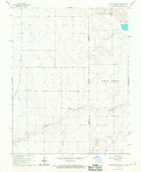
1966 · Durkee Creek SE
USGS Topo · 1:24,000

1968 · La Junta
USGS Topo · 1:250,000
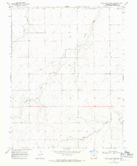
1968 · North Plum Creek NE
USGS Topo · 1:24,000